South Korea

A stroll around the Jagalchi Fish Market

I was strolling the streets early on a Sunday morning on my way to Jagalchi fish market. It was December and the street was still very quiet and only a few stalls was open at this time. Others were getting ready to open and preparing for the day.

_60A0038  _60A0048

_60A0043  _60A0051

Some cleaning in front of the store and some laying out the fish ready to be sold. The closer i got to the fish market the more busy it was. I passed the stalls and headed in to the indoor wet fish market.

_60A0068  _60A0056

_60A0078  _60A0069

I walked inside the building but as it was still quiet i decided to head over to the outdoor wet market that is located just next to the indoor market.

_60A0082  _60A0088

Fish was unloaded from small and large fishing boats and the outdoor market got busy.

_60A0098  _60A0097

Passing this i was thinking why not try out the waffles like thing looking like fish? Well i decided to miss it this time and headed in the direction of the harbor as i could see lots of fishing boats had anchored up and was unloading fish to be sold at the marked and transported off to other places in the country to be sold.

_60A0127  _60A0123

_60A0122  _60A0132

The harbor was busy and people was shouting at all corners to make sure the fish got to the right trucks or sold off to the local marked.

_60A0146  _60A0144

_60A0138  _60A0154

All was very well organized and boxes got stored in different location or transported direct on the trucks for transportation.

_60A0129  _60A0170

_60A0145  _60A0107

The Jagalchi fish market is the largest fish market in Korea and you will find fresh fish that can be purchased for a good price. With the location beside Nampo port the fish can be delivered quickly and kept fresh.

_60A0104  _60A0101

The market is famous as many elderly woman run the fish stands and have done so since the men were off fighting in the Korean War. Meals are served to locals and tourist alike in the small restaurants they have set up behind the stalls were they are selling the fish.

_60A0099  _60A0105

A lot of restaurants come here to buy fish from wholesalers.

_60A0178  _60A0177

At the time I left the market it was getting really busy.

If you visit Busan make sure you visit the Jagalchi market. Try out some of the food stalls or just stroll around. Either way it is worth the visit.


Hiking Geumjeong-san

Autumn leaves was falling from the trees on this cloudy November day. With the shift of seasons the temperature had dropped and the temperature this Sunday morning was showing 5 deg C. But the low temperature did not seem to have scared off the locals from finding the way out in the nature. The trail was packed with Korean hikers sporting the very latest in alpine fashion, heading up the mountain.

_60A9519  _60A9505

We picked the Geumjong fortress as our hiking destination for the day. It is one of Korea’s Historical sites and is known for some of the city’s best hiking with spectacular view overlooking the city of Busan.

_60A9493 _60A9489 _60A9495

_60A9482  _60A9487

We took the subway to Beomeosa station and a short bus ride to Beomeosa temple that was our starting point for the hike. It was easy to find the bus to take as it was just to follow all the other hikers heading in the same direction. The bus was packed and sins we did not have any idea of where to get off the bus we just went off where most of the other people went off.

_60A9490  _60A9497

_60A9498  _60A9499

Well off the bus we tried to look for any sign in English on where to go next, but there are no sign. And we did not find any showing the way to the temple so we walked up some stairs and at this point we passed a small building and spotted that it said information. We went in and asked what direction to take and if they had any maps showing the area and they had. And surprisingly they gave us one in  English. The women pointed out the direction for us to continue uphill and told us to keep on the left side of the temple.

_60A9506  _60A9517

_60A9511  _60A9518

From Beomeosa temple we followed the river course uphill on a rocky path and ascended relatively steadily. It took us about 40 min to reach the North Gate. At this point we needed a short break and something to eat. It was quite cold with a bit of wind so all the clothes taken off during or uphill climb had to get back on to try to stay warm when not moving.

_60A9525  _60A9531

_60A9521  _60A9529

The mountain contains a network of hiking trails and at the North gate the trails goes in different direction and this is when the map came in handy. Looking at the map we decided to follow the fortress wall to the south gate and from there descend by the cable car.

_60A9514 _60A9535 _60A9533

_60A9540  _60A9543

From the North gate it was again steep uphill for a short part and from there a mix of uphill and downhill, so quite pleasant hiking. We passed several watchtowers with some spectacular view of the city along the way.

_60A9545  _60A9556

_60A9568  _60A9571

Arriving at the different watchtower we checked on the map to located our self to make sure we were heading in the right direction.

_60A9586  _60A9602

_60A9591  _60A9592

Geumjeong Fortress is the largest mountain fortress in South Korea and was built in 1703 by King Sukjong in response to previous Japanese and Manchu invasions. The gates and 17km of walls have been mostly restored after destruction during the Japanese occupation (1910-45). The fortified area is immense and not particularly fertile thus it has fallen into disrepair several times throughout history.

_60A9595  _60A9593

_60A9603  _60A9599

Arriving at the South gate we followed the path to the gondola to return down from the mountain. It’s possible to walk down from the different gates but for us after hours of hiking we choose the easy way down.

_60A9610  _60A9611

_60A9600  _60A9615

Well down we walked to the Oncheonjang Station and from there took the subway back to our hotel.

_60A9621

To get to Beomeosa temple:

Take subway line 1 to Beomeosa Station. Walk to the Open air bus terminal and take Bus 90 to Beomeosa temple.

Hiking Mt. Hallasan

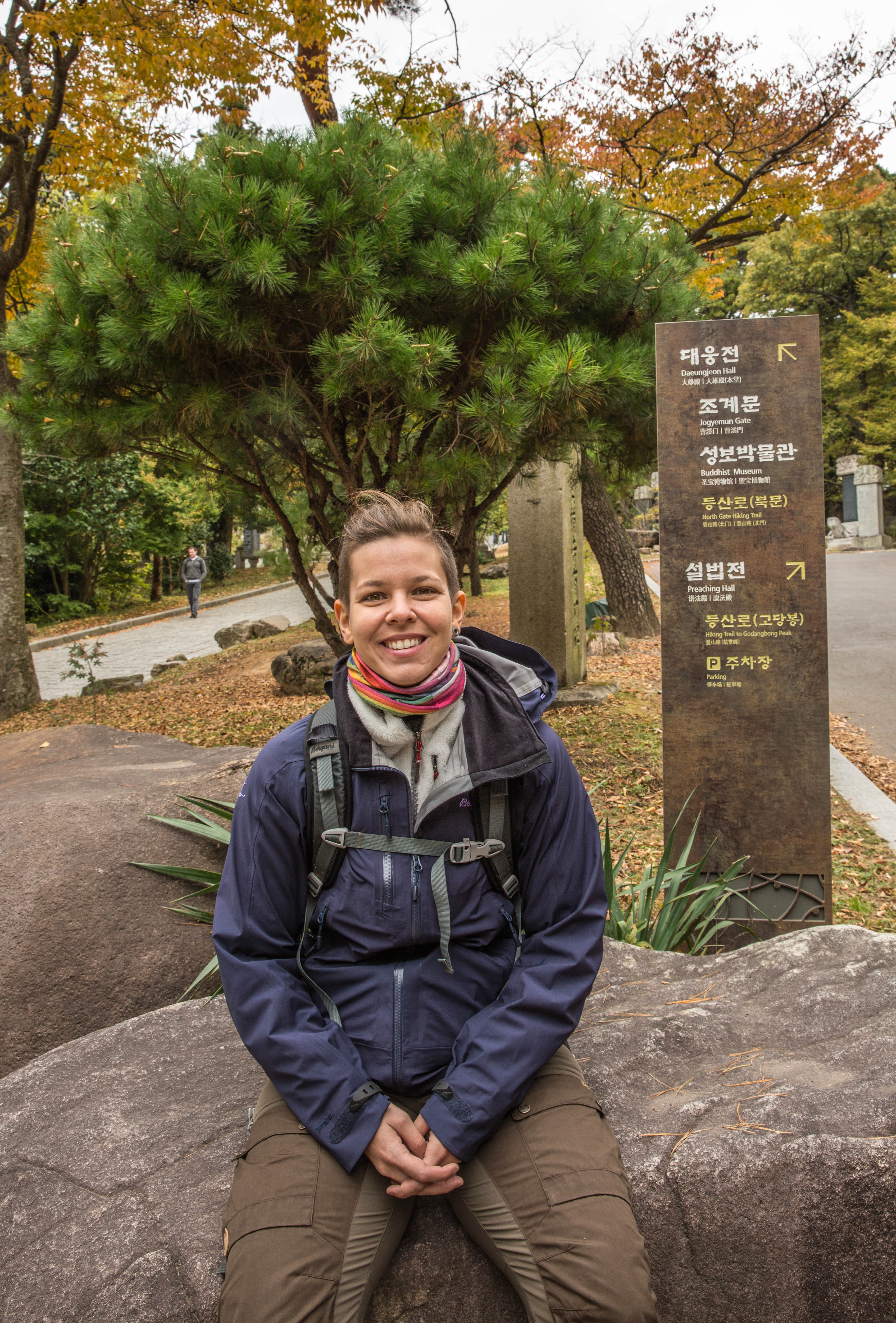
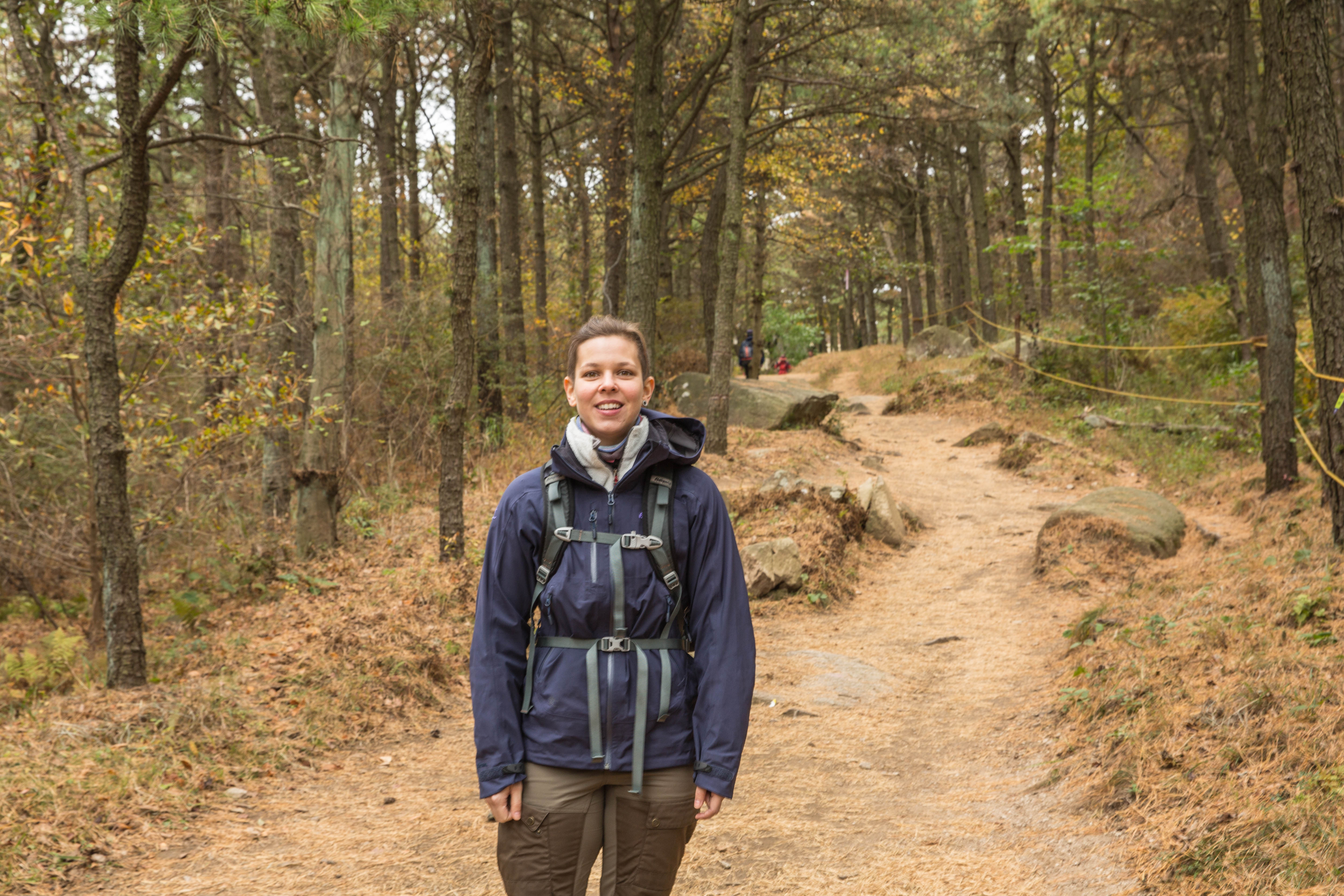
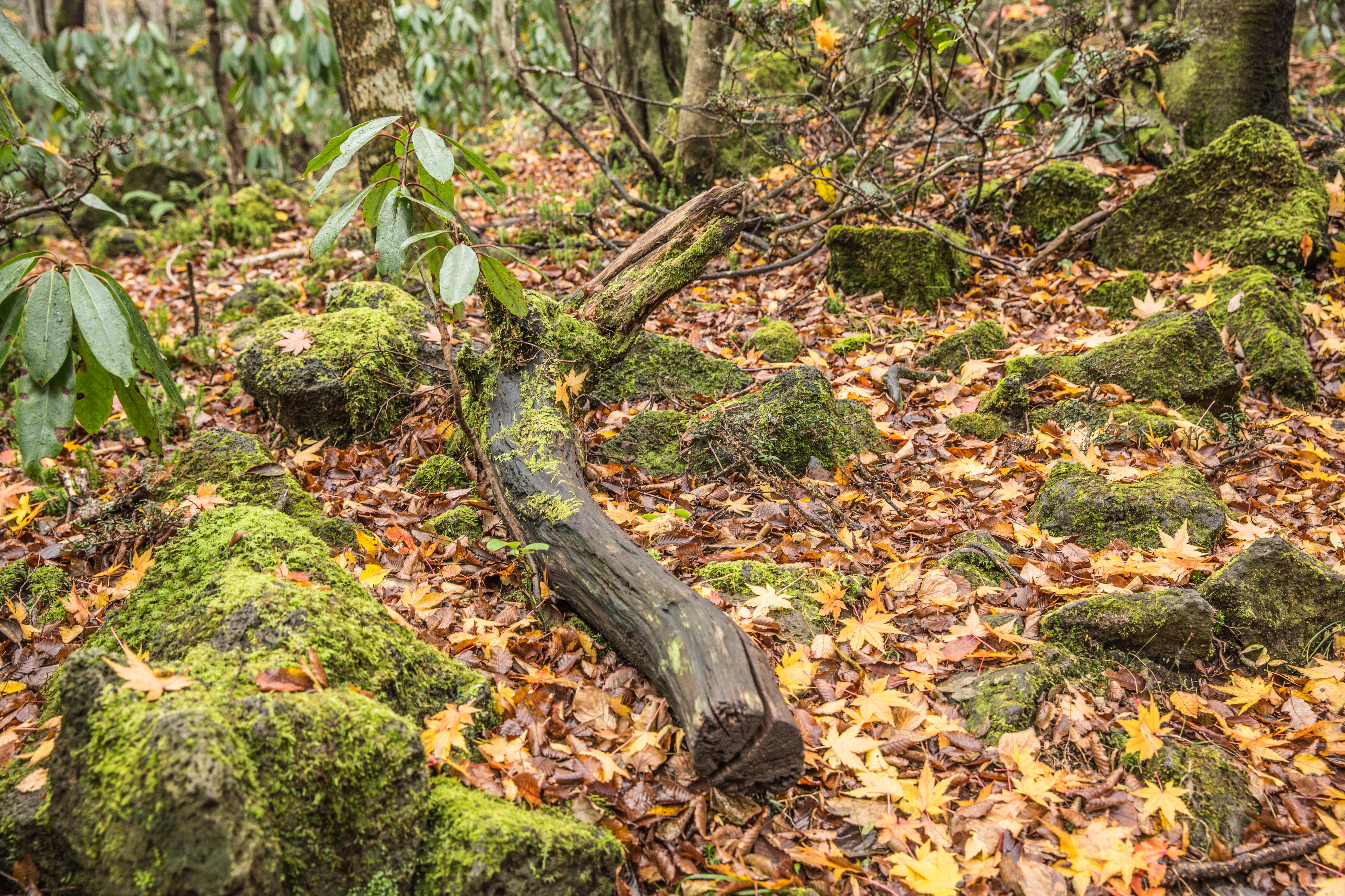
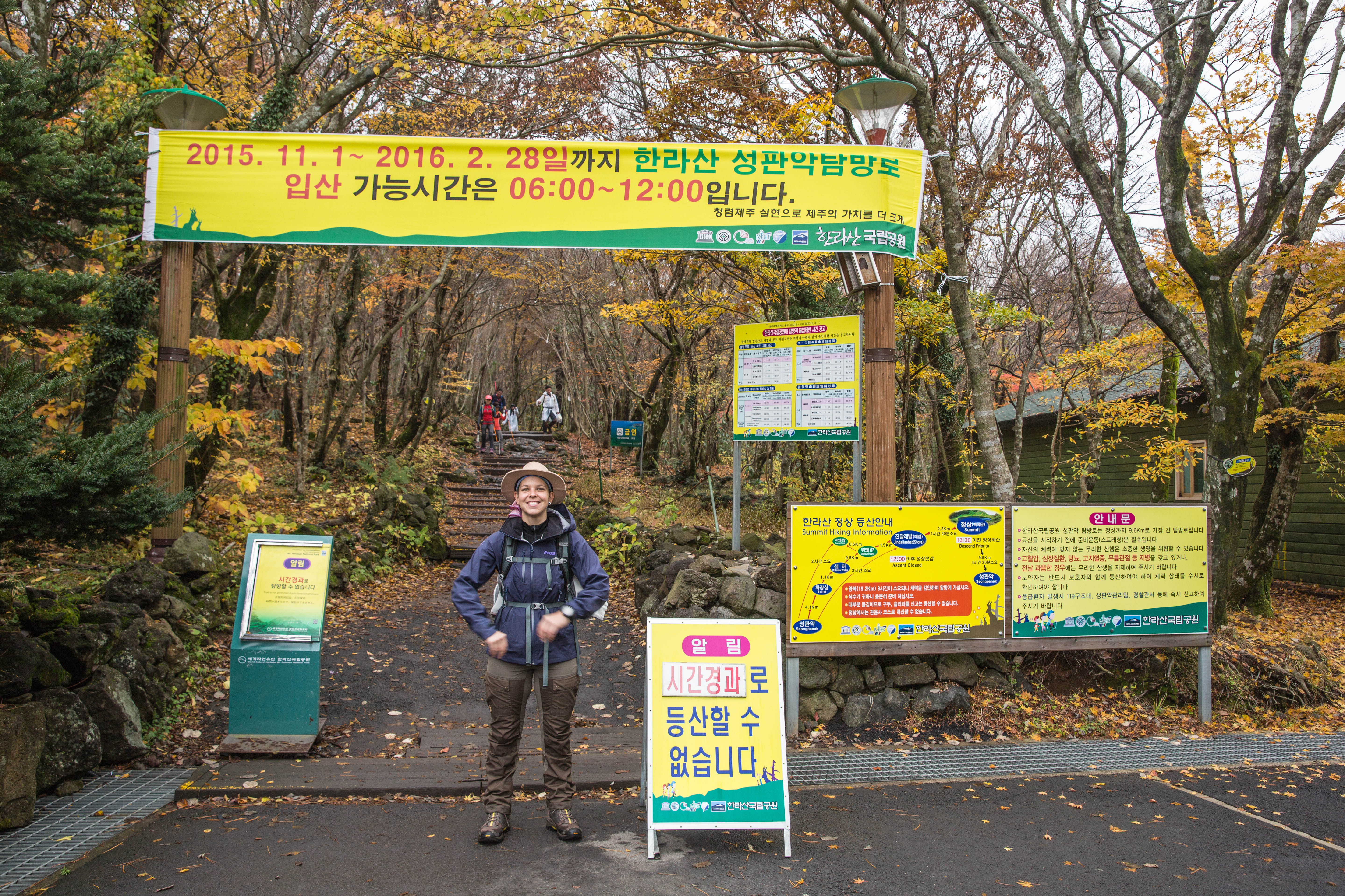
Arriving at the entrance of the Seongpanak trail the temperature was quite nice to be early November and entering the trail, autumn colours where showing off everywhere. It was early morning so still quiet with a few other hikers in front of us and some Crows flying above our heads. It was almost a magical atmosphere with the trees still covered in mist from the morning rain.

_60A9698  _60A9708

_60A9724  _60A9728

In Norway we have a saying, there is no bad weather just bad clothing. So we were well prepared for a day of rain as weather forecast for the day was heavy rain. But the weather gods were on our side so the heavy rain ended up being a nice and sunny day.

_60A9714  _60A9818 _60A9835  _60A9727

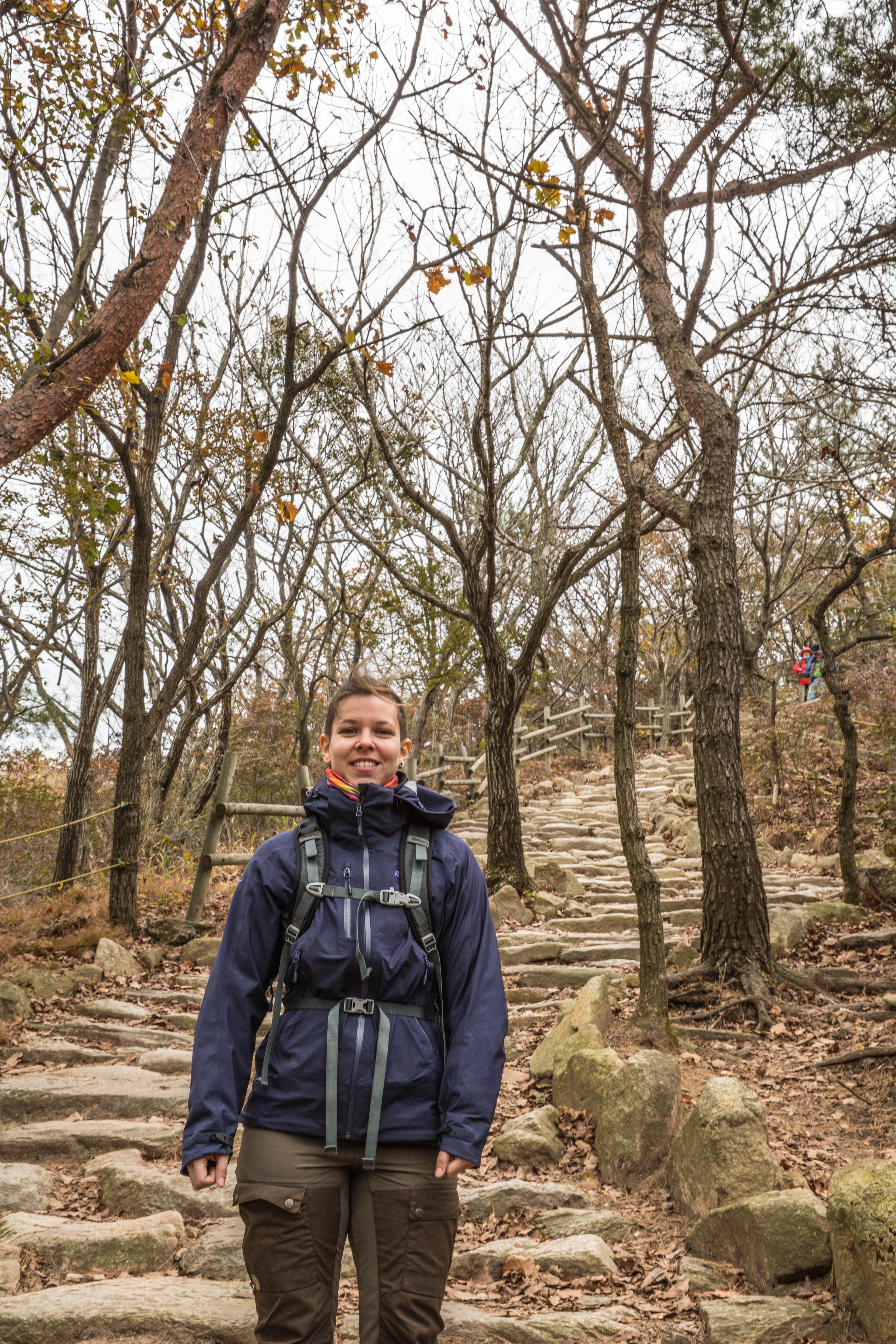
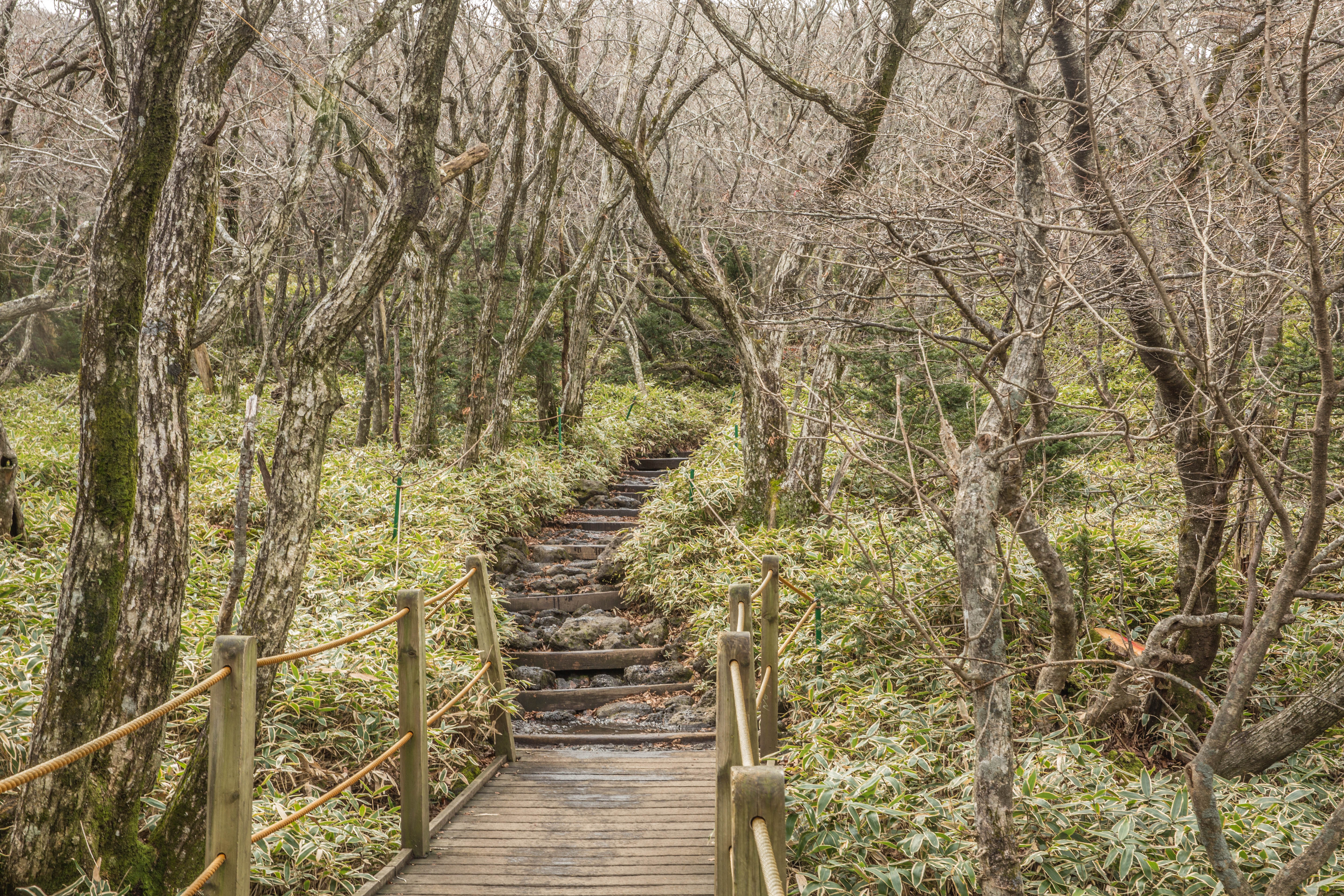
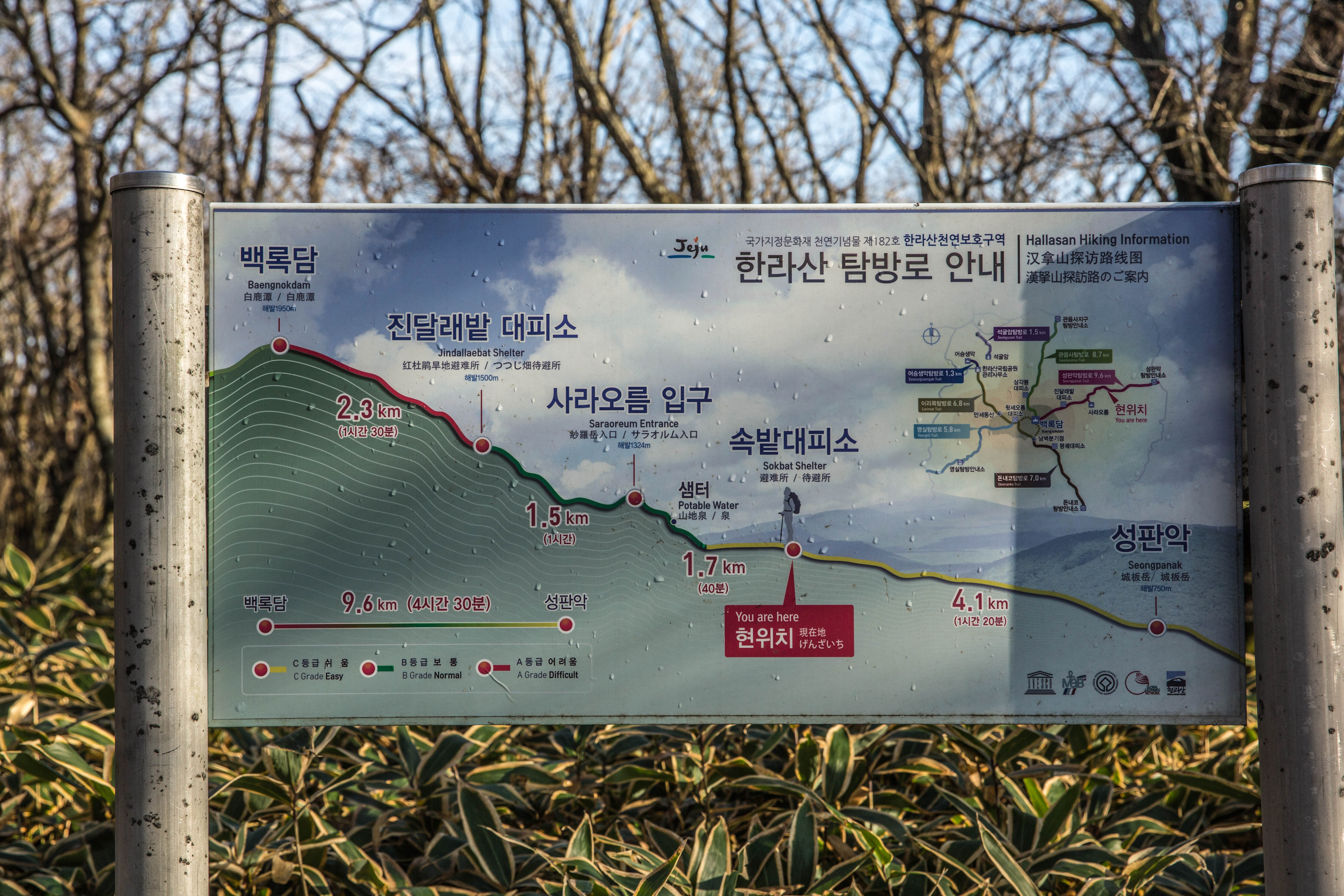
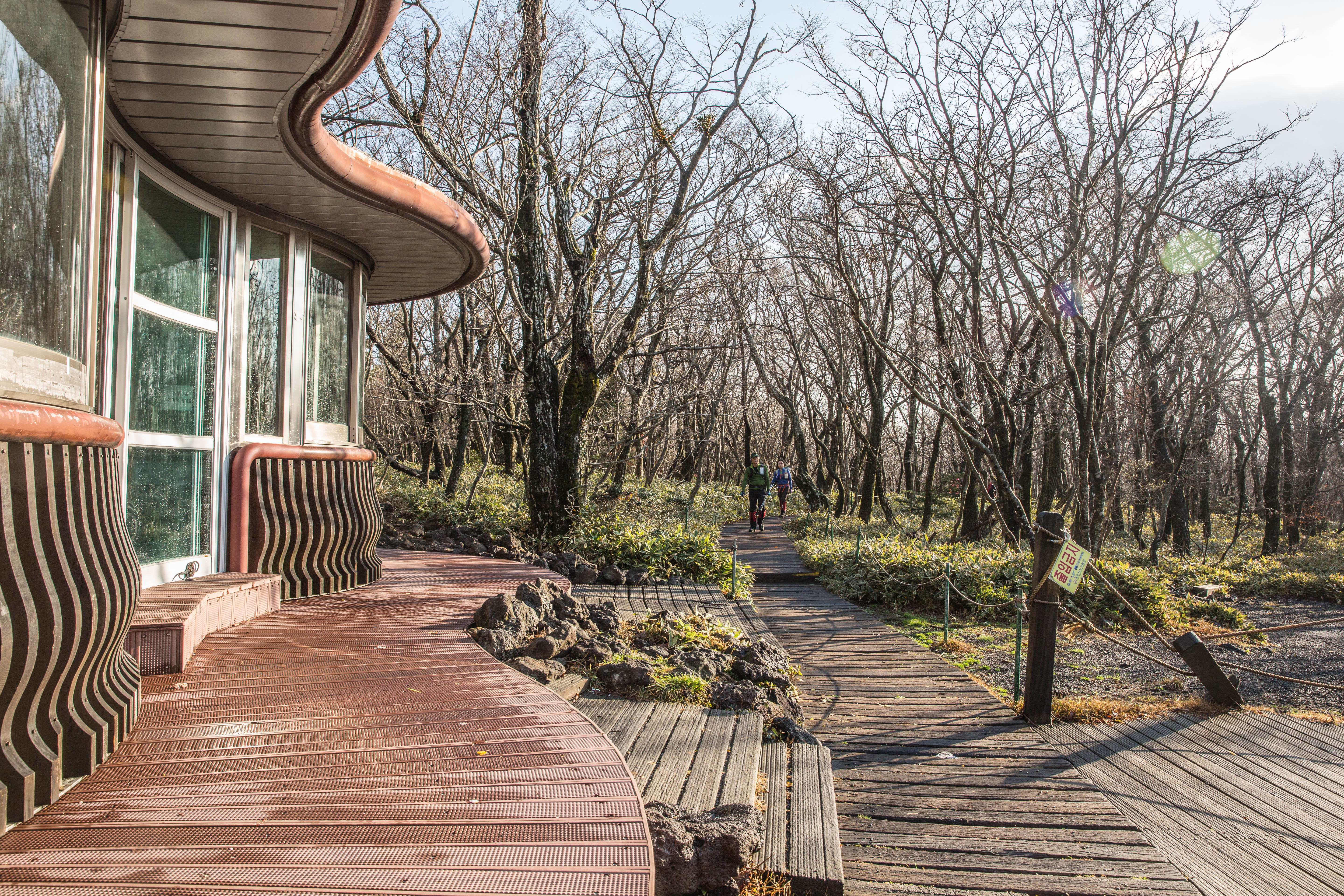
The trail started with light uphill, winding its way through the forest. The first 4 km until we passed the Sokbat shelter, was quite pleasant and easy hiking.

_60A9726  _60A9718

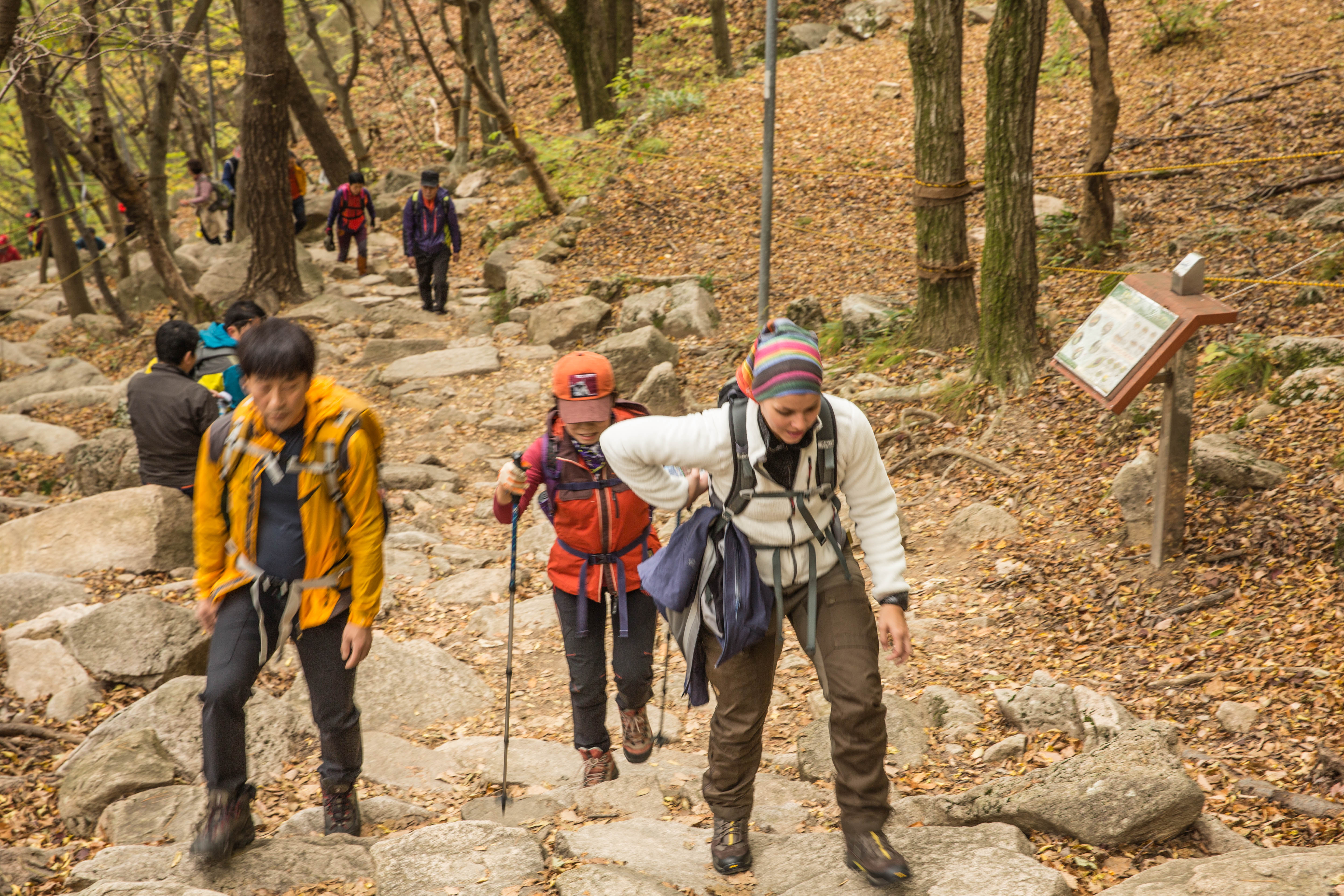
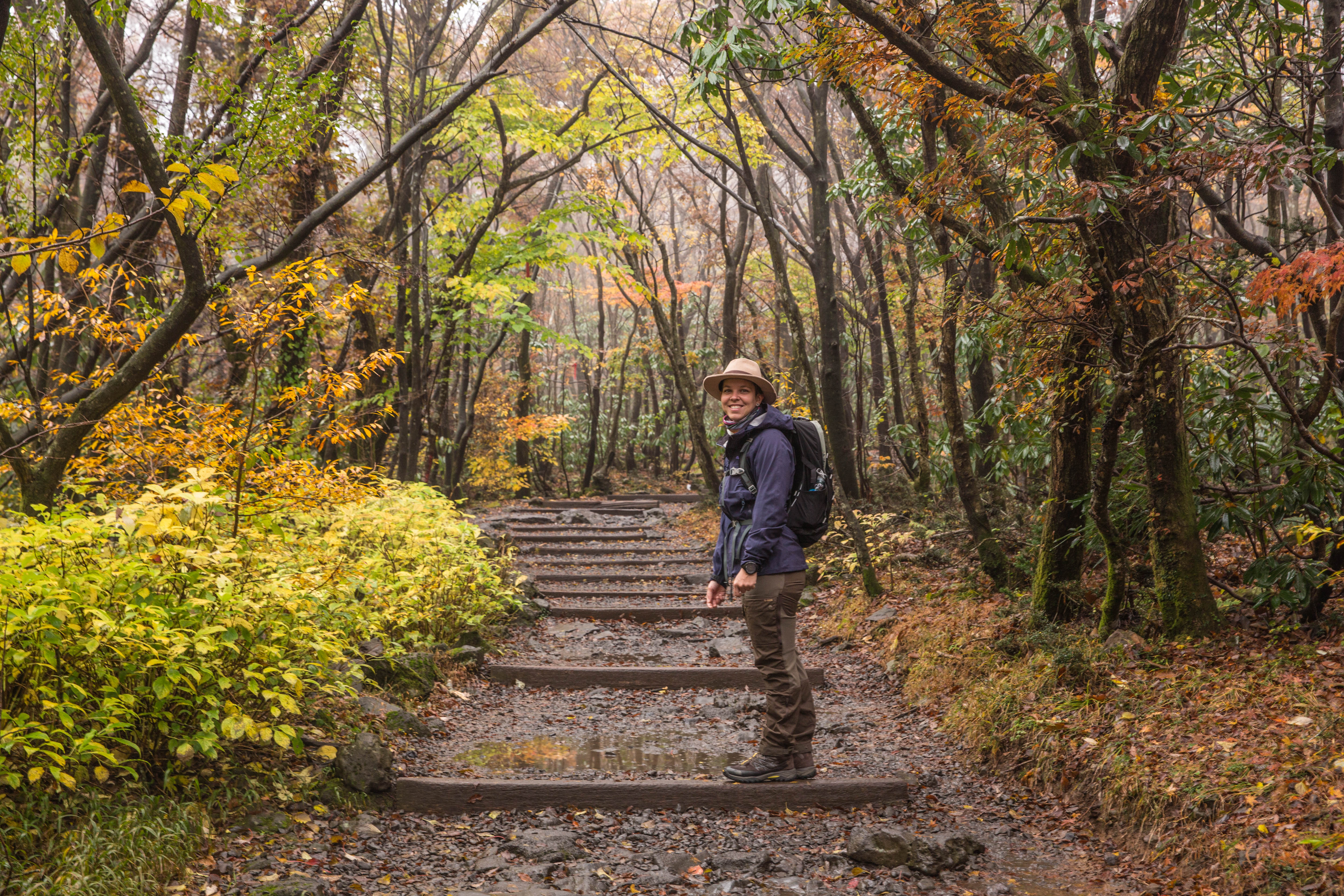
From Sokbat shelter to Jindallaebat shelter the trail started to be more challenging due to the heavy rain the day before. So the next kilometres climbing uphill on wet rocks our focus was to keep a nice pace and put our feet in the right place to not slip on the wet rocks.

_60A9749  _60A9748

_60A9746  _60A9751

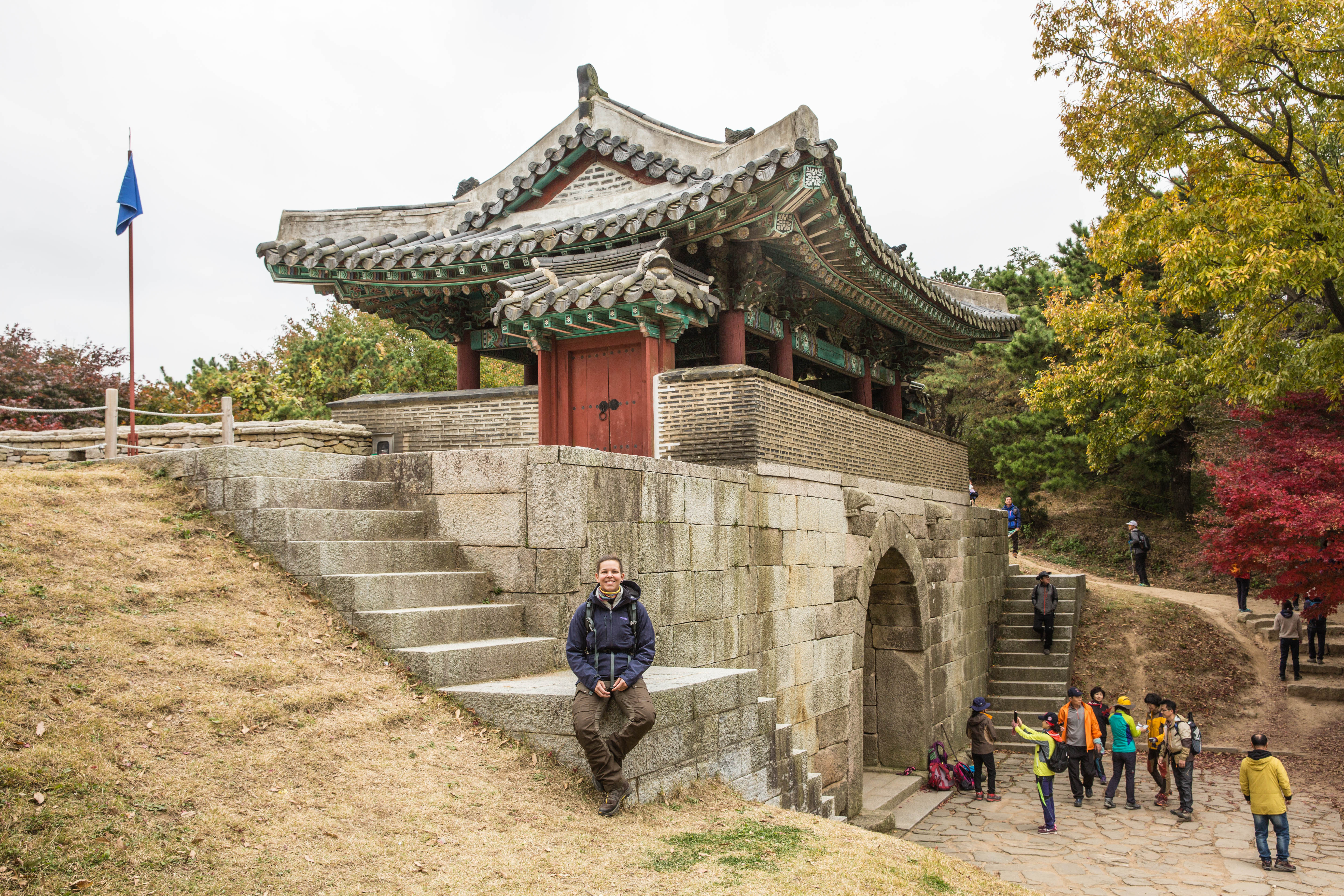
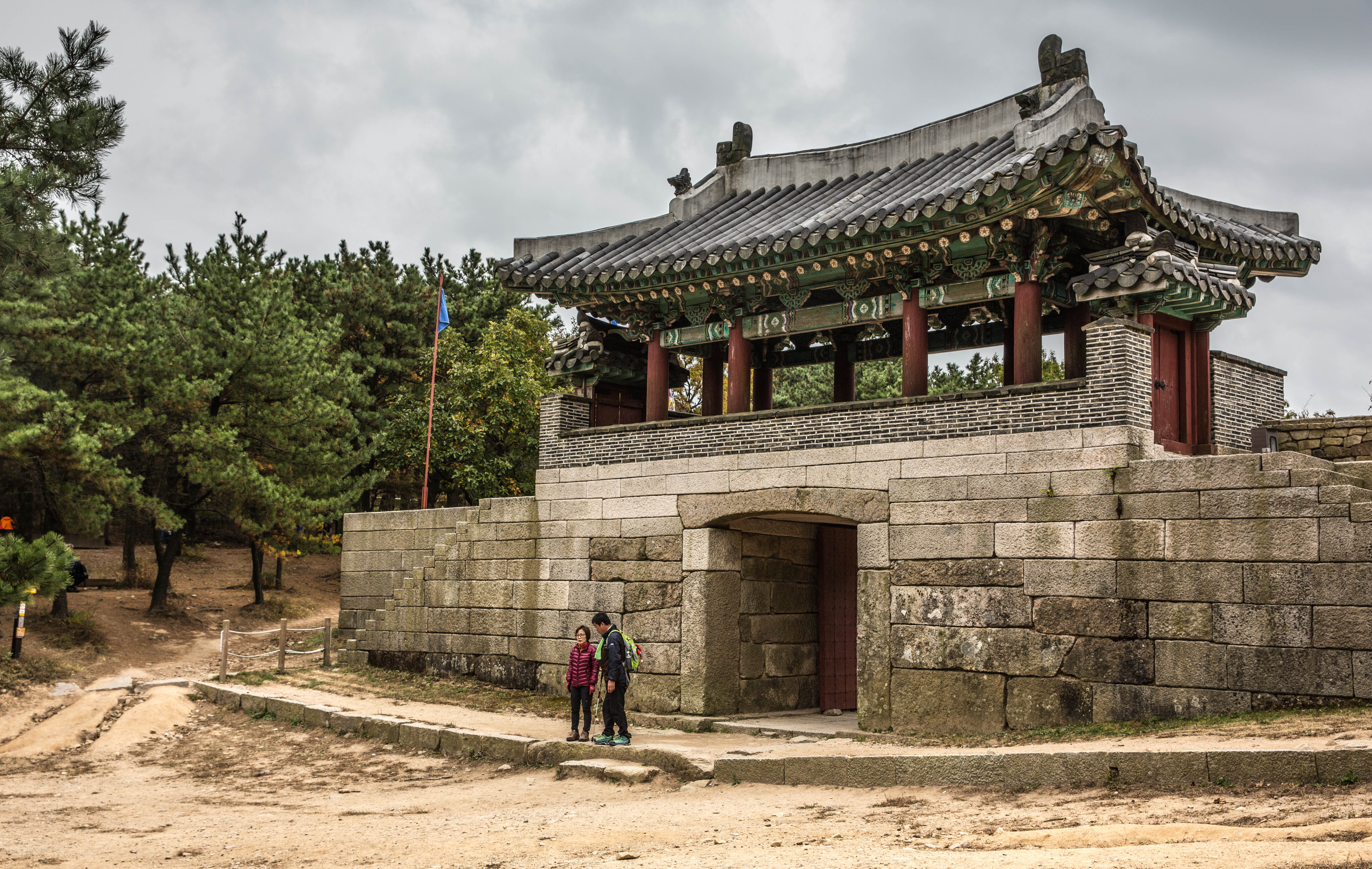
We had to pass the Jindallaebat shelter before noon to be able to continue to the summit. If you arrive after this time you will not be able to continue as they want to make sure people have time to get back down before the sun goes down. This timing changes depending on the seasons so good to check up front.

_60A9739  _60A9760   _60A9767

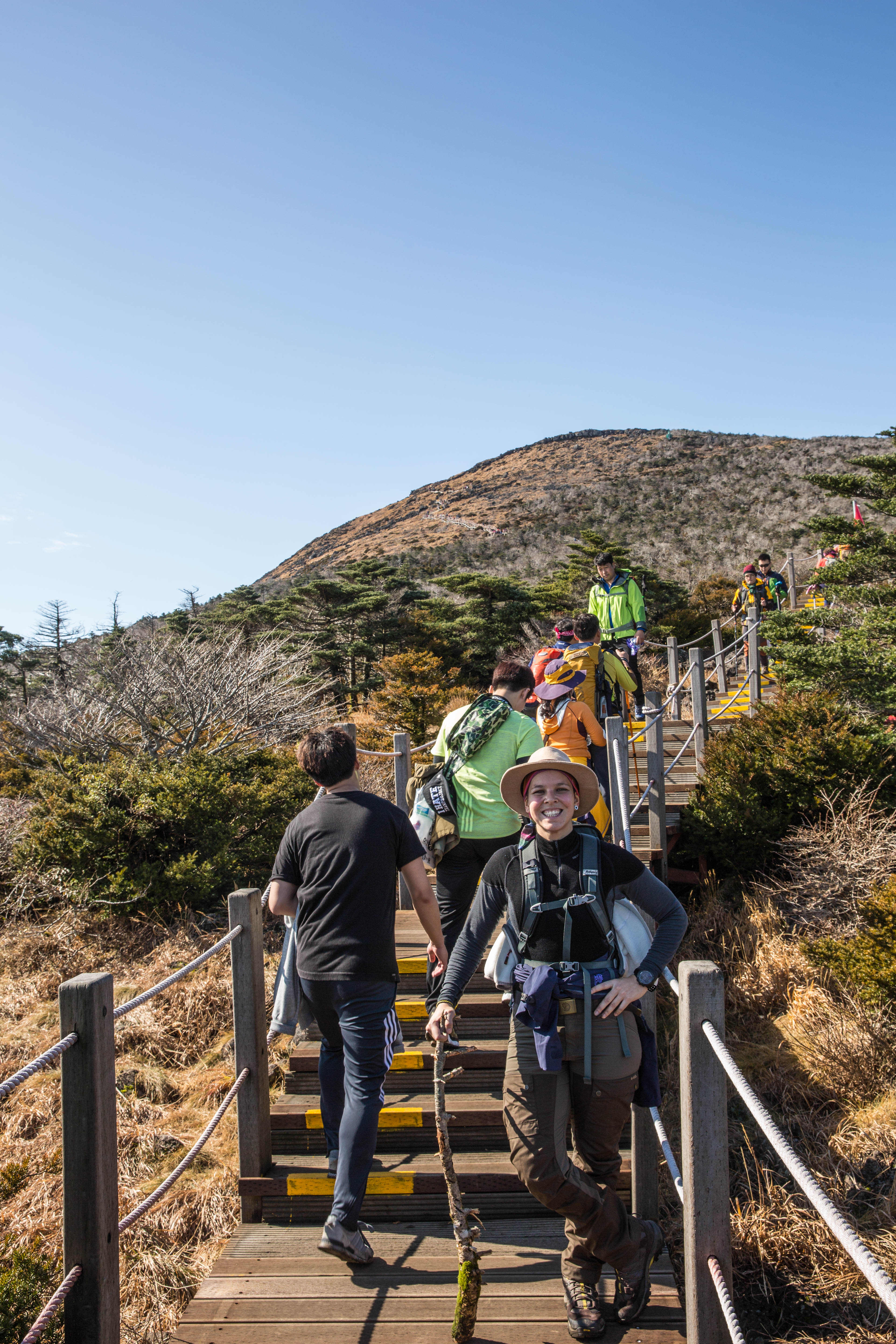
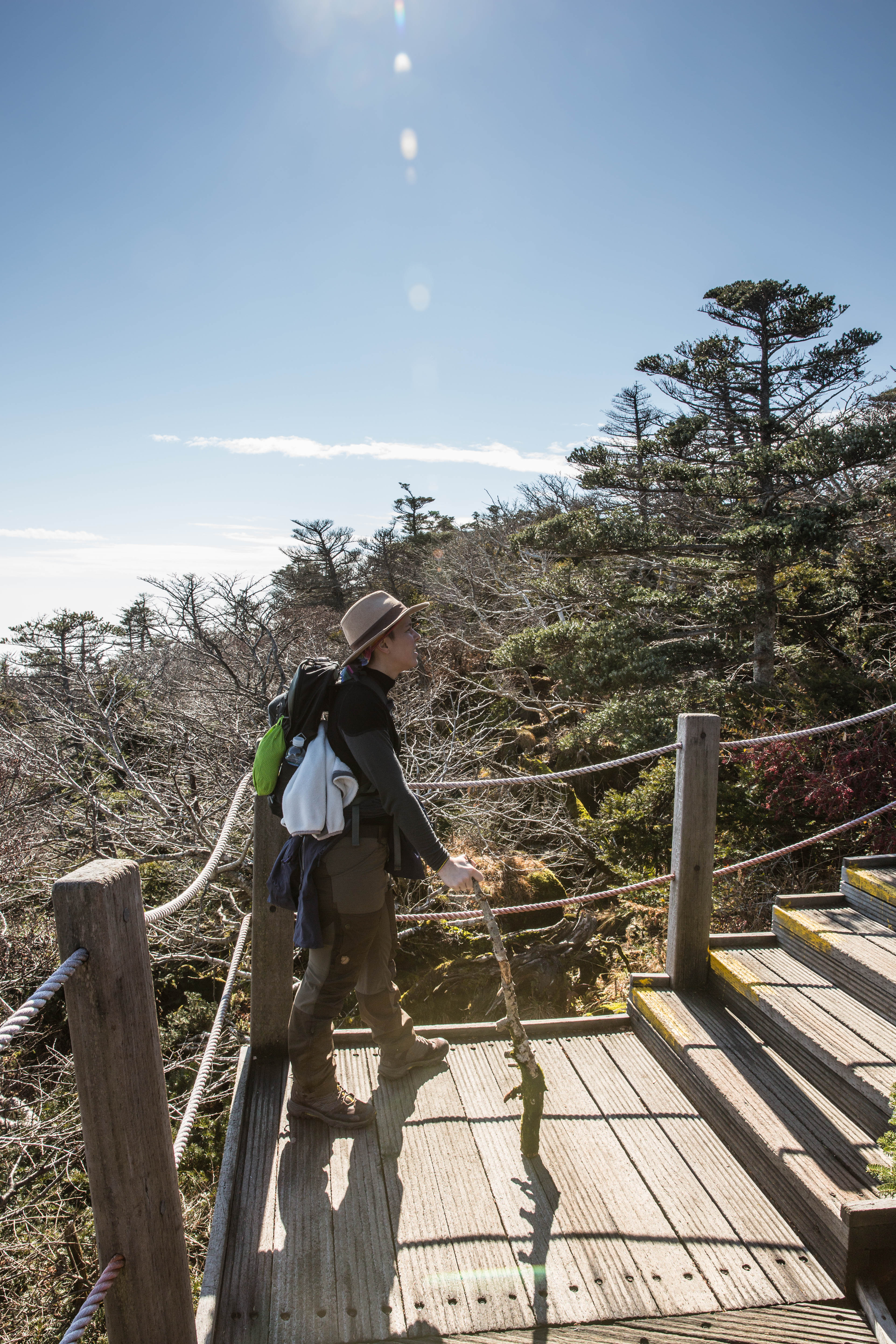
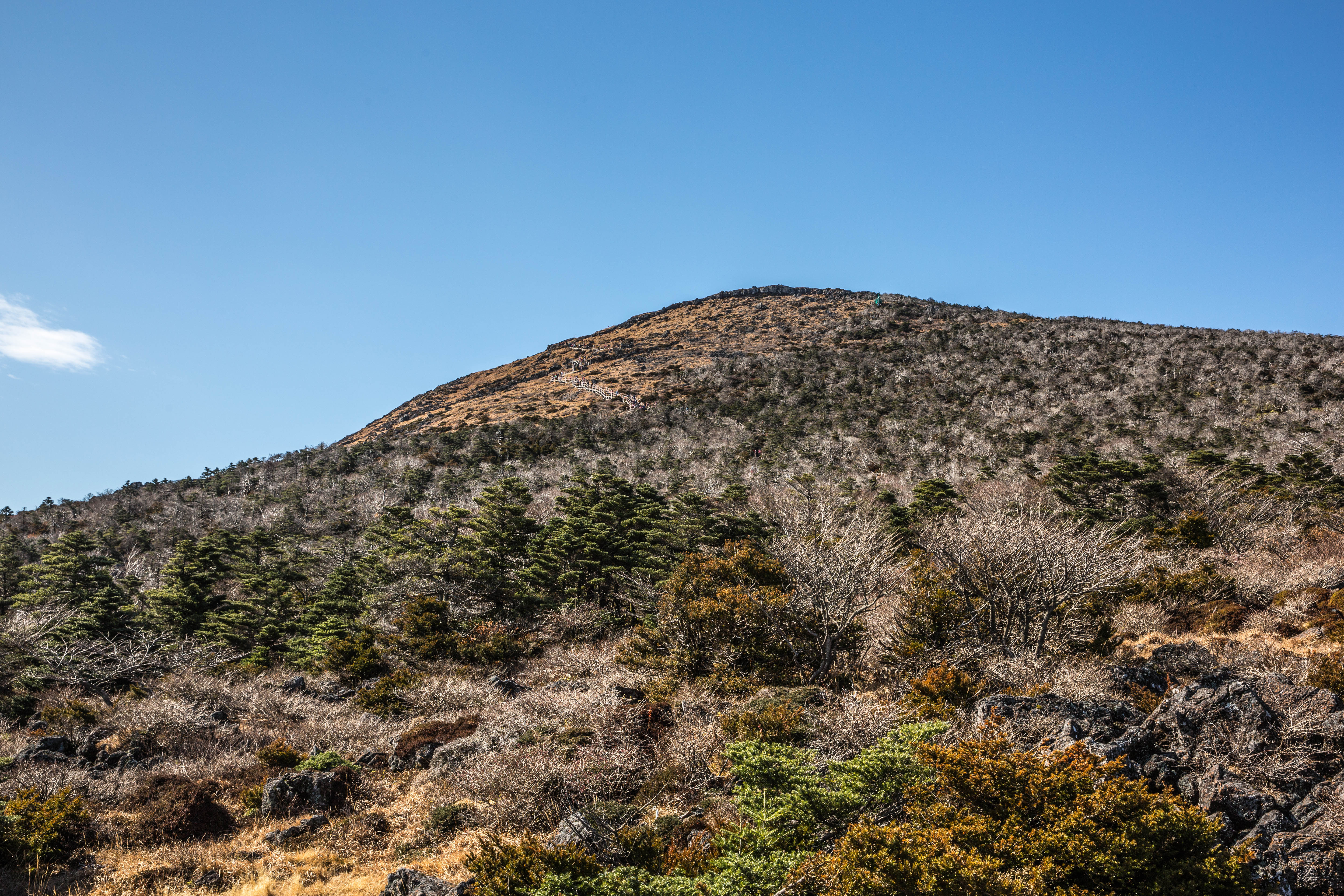
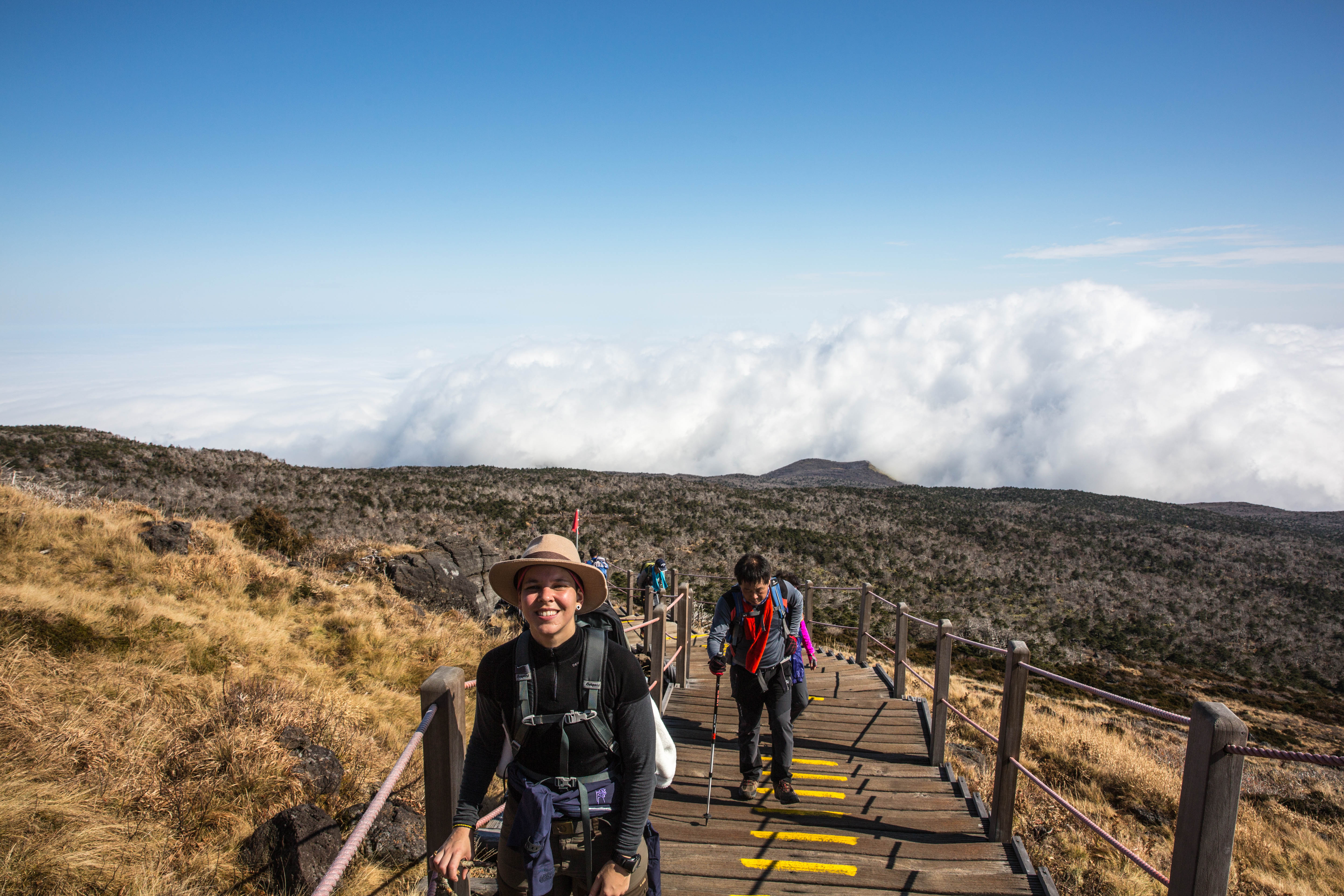
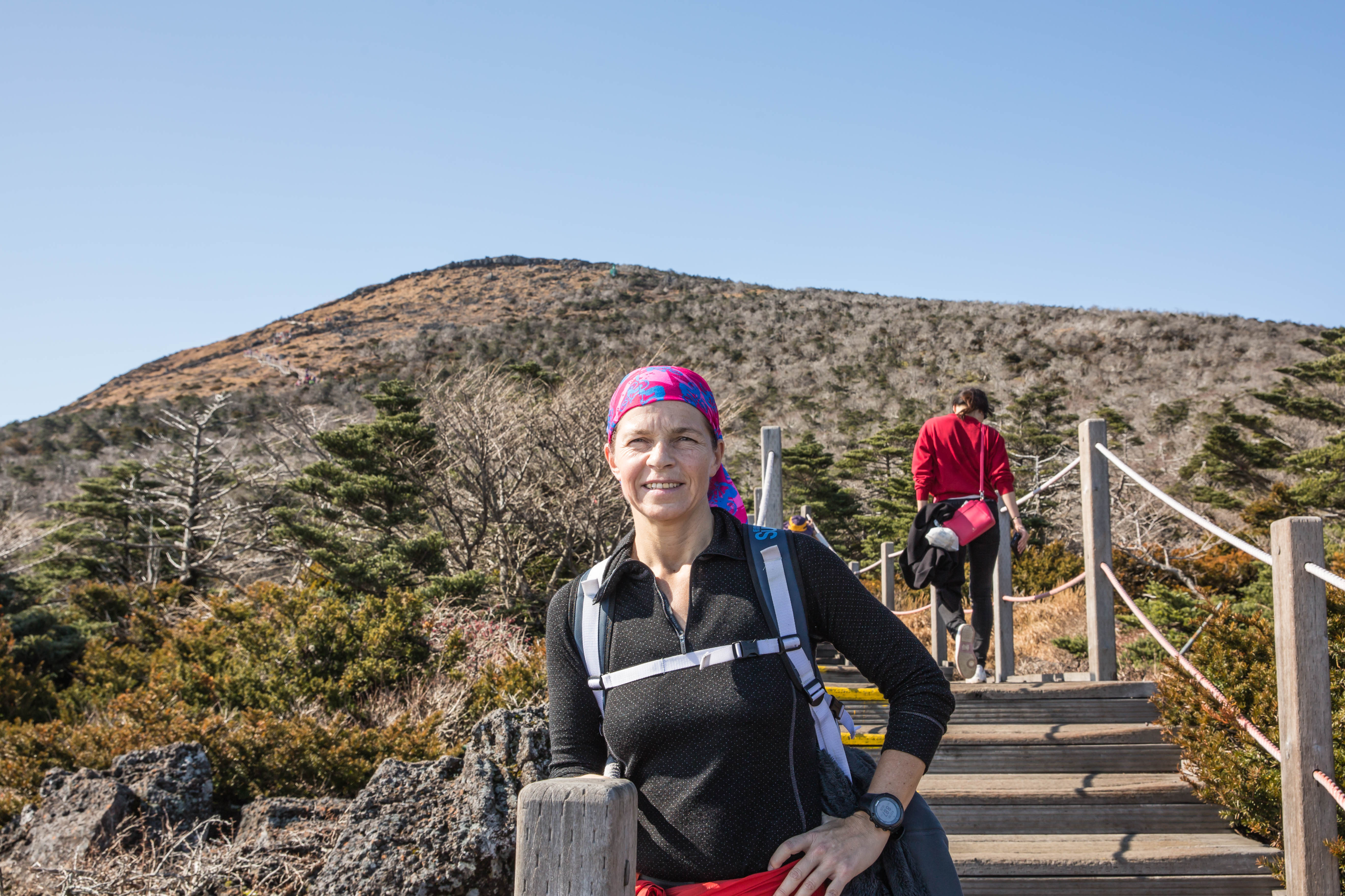
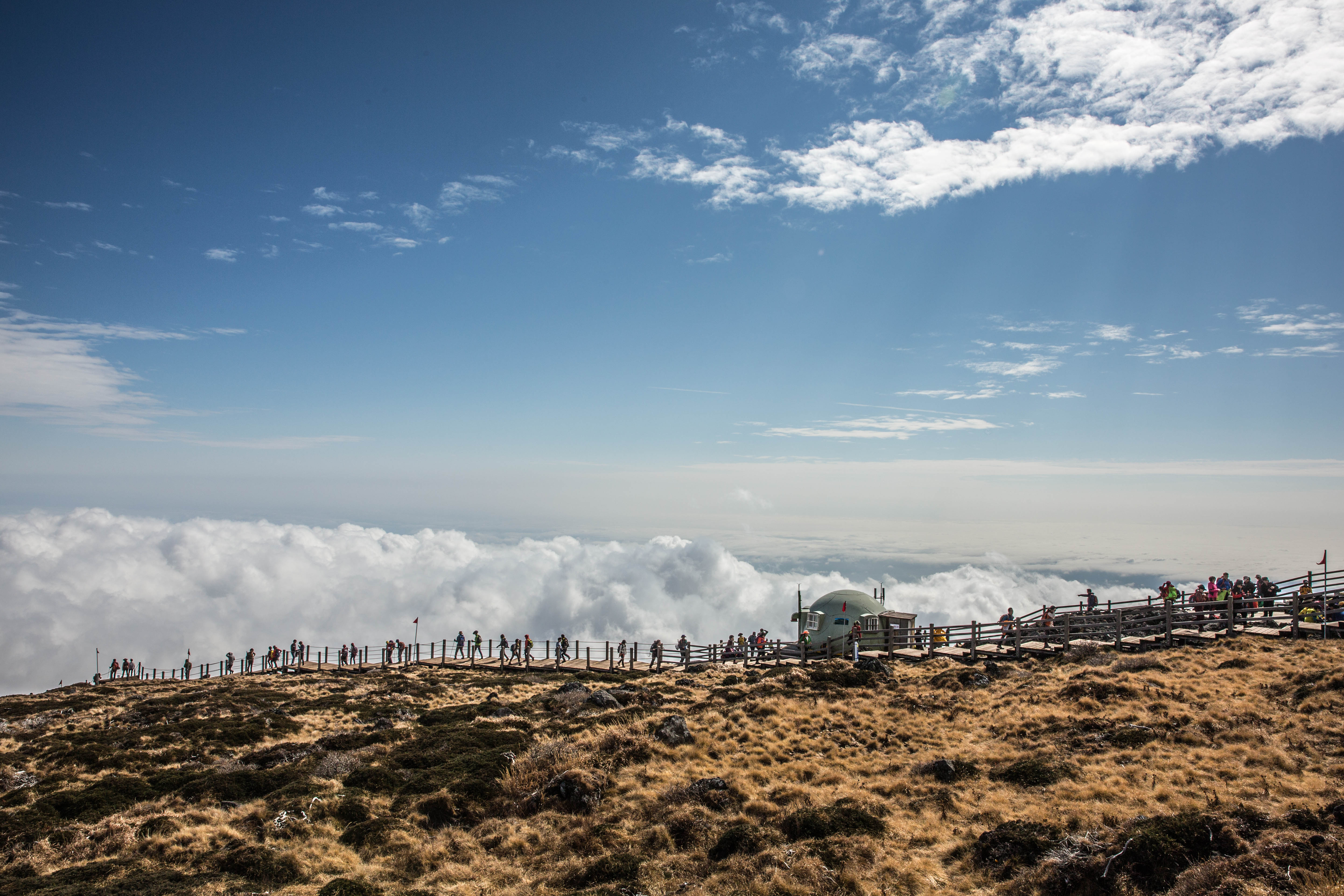
After a short rest at Jindallaebat shelter we continued uphill were we changed from walking in terrain of thick forest to enter out to more open landscape as we were getting above the tree limit. At this point we could see the summit at a distance. It looked so close but with a steep uphill it was the hardest part of the trek. The trail changed from slippery rocks to man made wooden stairs with a quite crowded trail at this point. Some going up and some coming down.

_60A9761  _60A9774

_60A9763  _60A9785

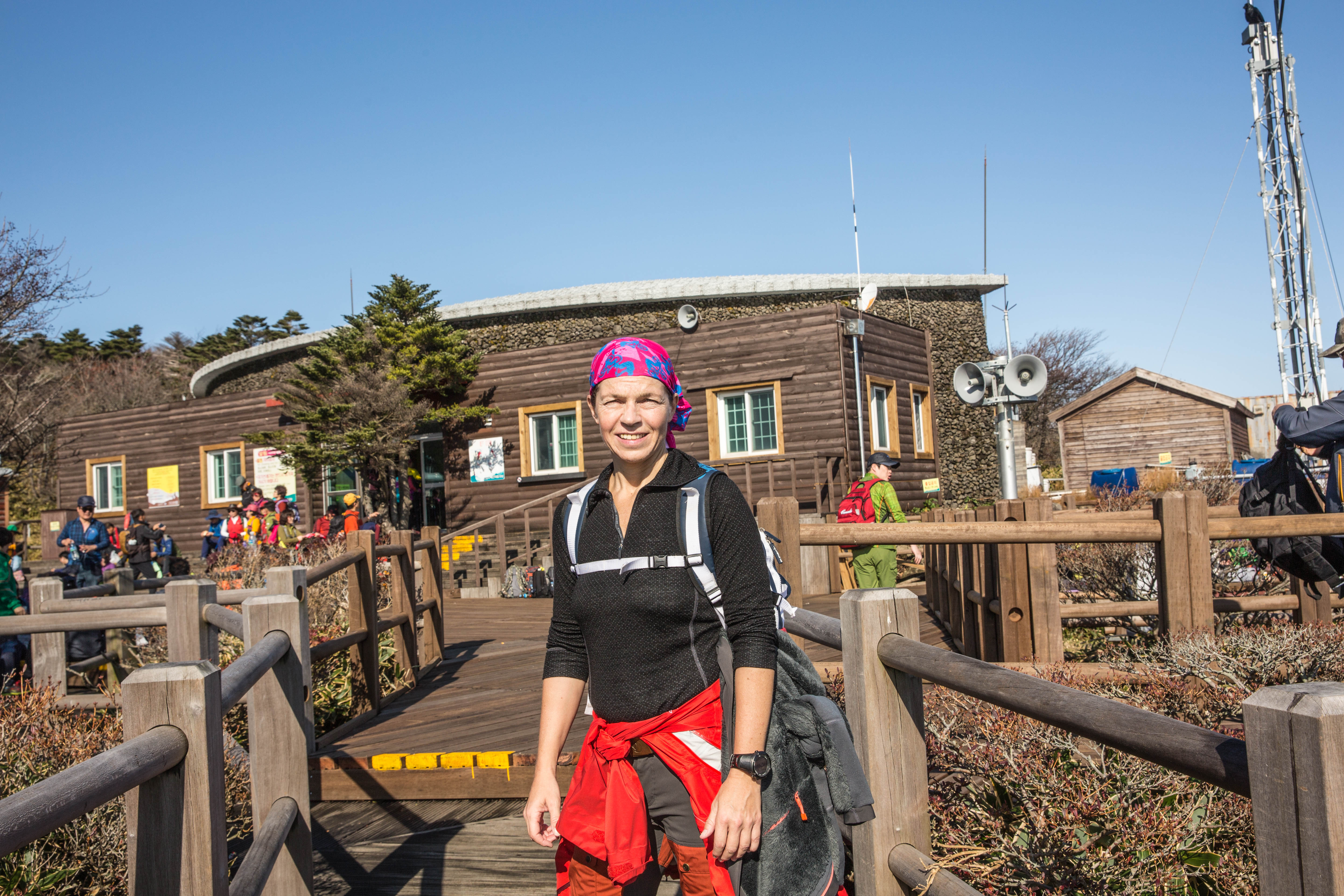
About 4.5 hours later, with backpacks much lighter due to a few stops along the way to fuel our body to get some energy, we were standing at the top of Mt Hallasan, South Korea’s tallest mountain with an altitude of 1950m above sea level.

_60A9778  _60A9780

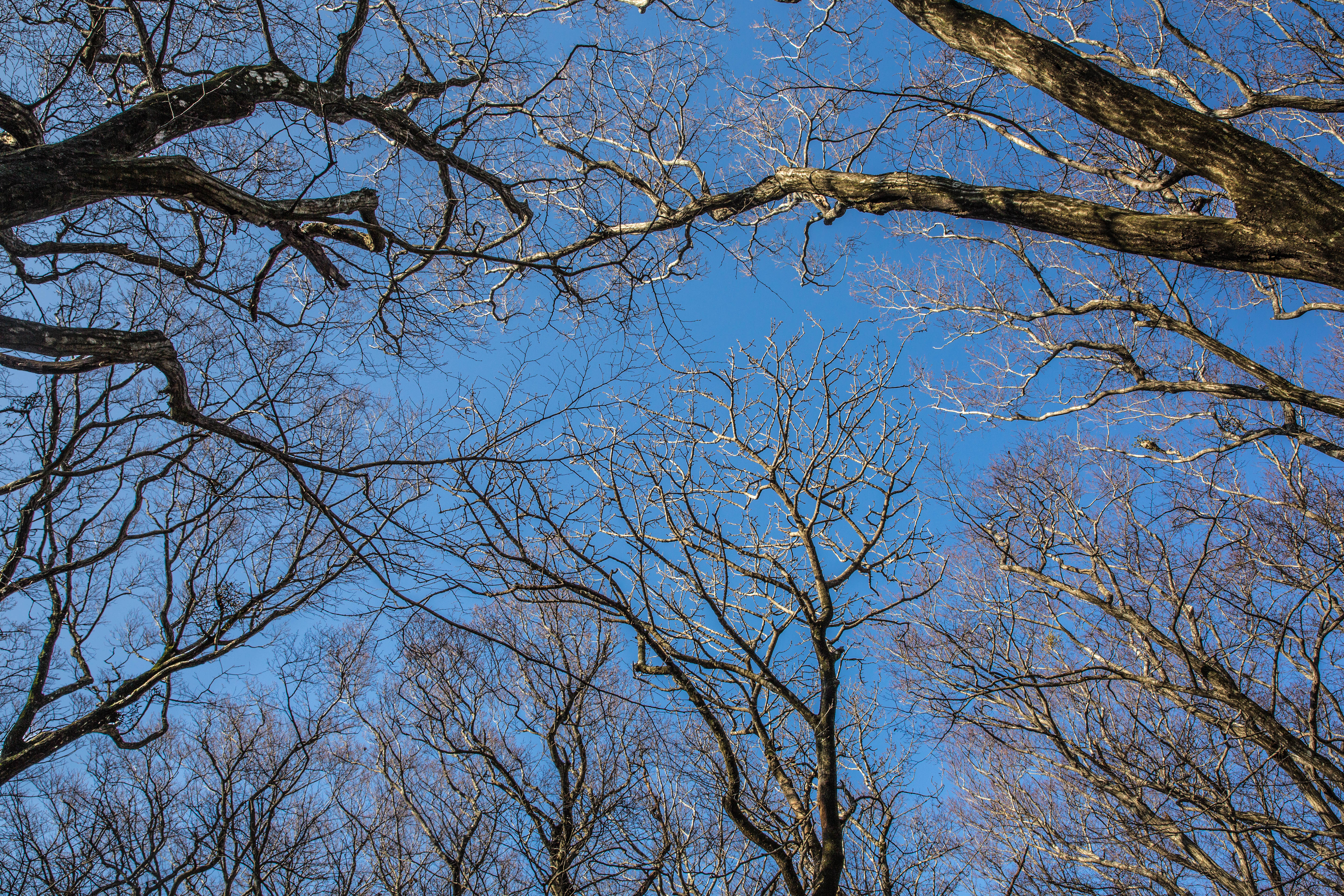
The summit is known to spend most of the days surrounded by clouds and today was one of those days with only a few openings here and there.

_60A9794  _60A9810

_60A9769  _60A9795

The size and depth of the Baengnokdam crater lake varies according to the season and at this time it was almost dry. Baengnokdam means white deer lake. Its from the legend attributing the name of the lake to otherworldly men who descend from heaven to play with the white deer. 

_60A9789  _60A9797

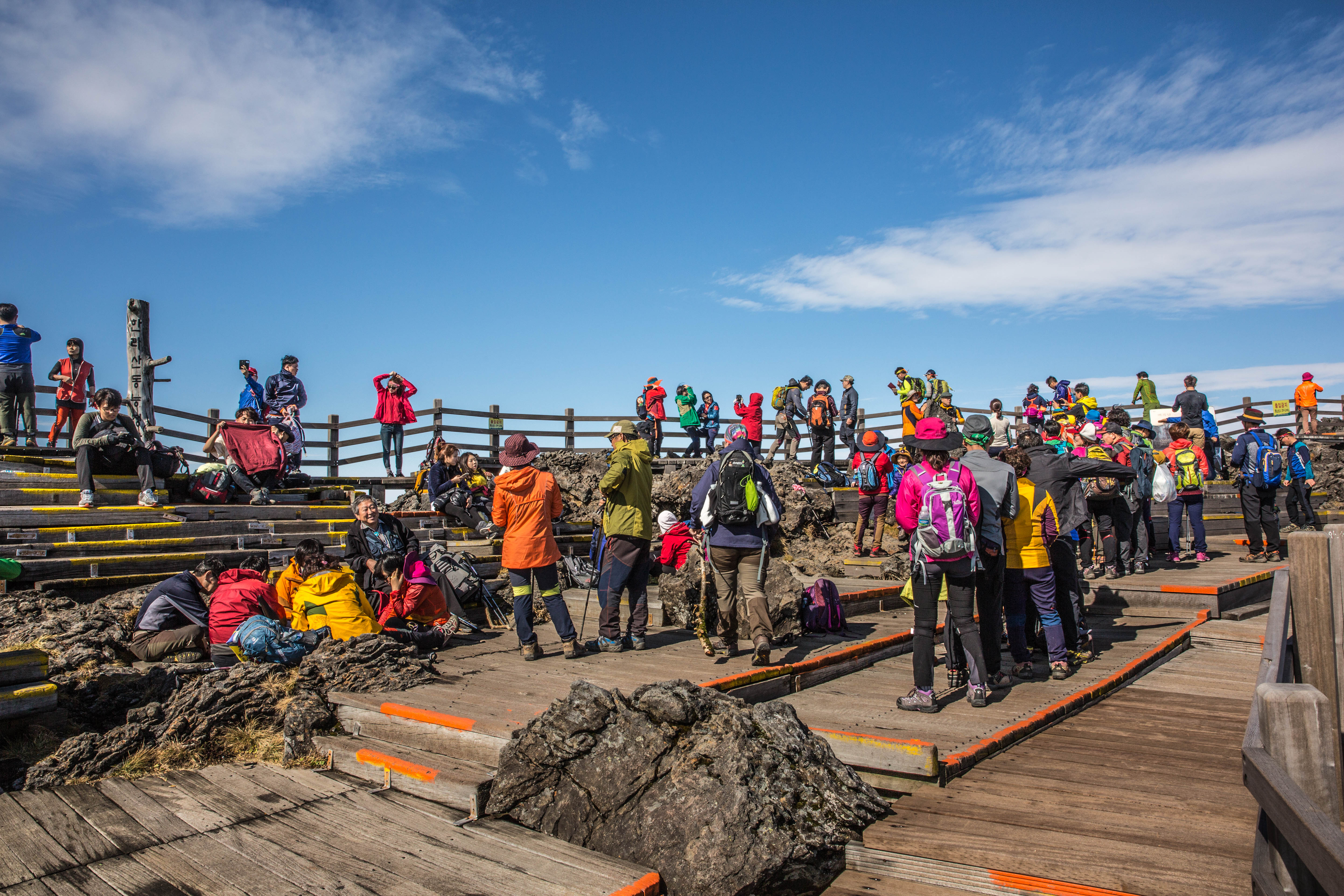
It was crowded at the summit and people were queuing up to take photos next to the stone with inscriptions in Korean. The wind was strong at the top so after taking in the view we found a place sheltered from the wind to enjoy our lunch and hot chocolate. We needed a good rest before our return down again.

_60A9808  _60A9799

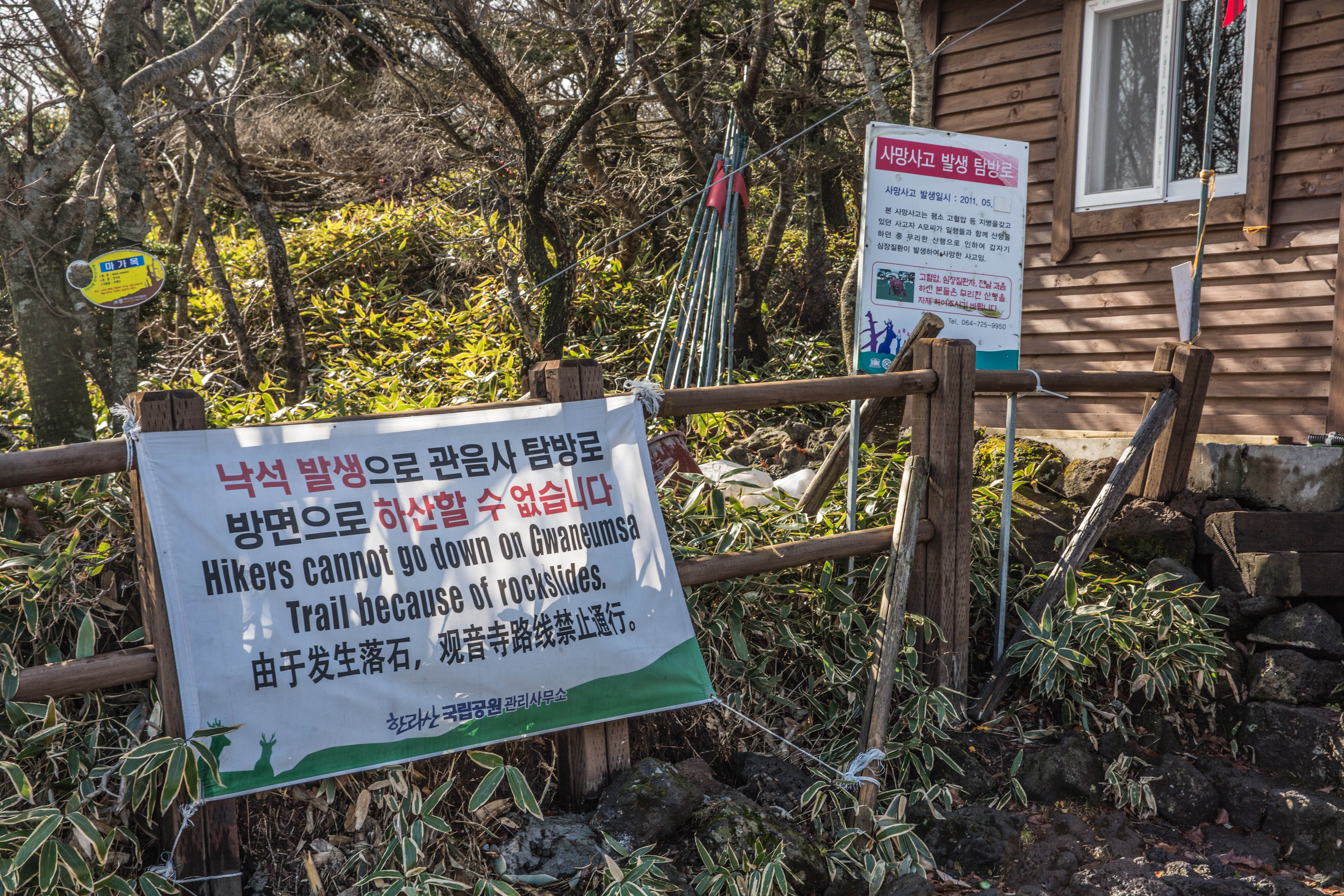
Hallasan mountain have different trail and two of them are going to the summit. The Seongpanak trail that we went and the Gwaneumsa Trail that we were planning to return down from. Due to blockage of the Gwaneumsa Trail we had to return down the same trail as we came from. The Gwaneumsa trail supposed to be more strenuous with fantastic sceneries.

_60A9798  _60A9788

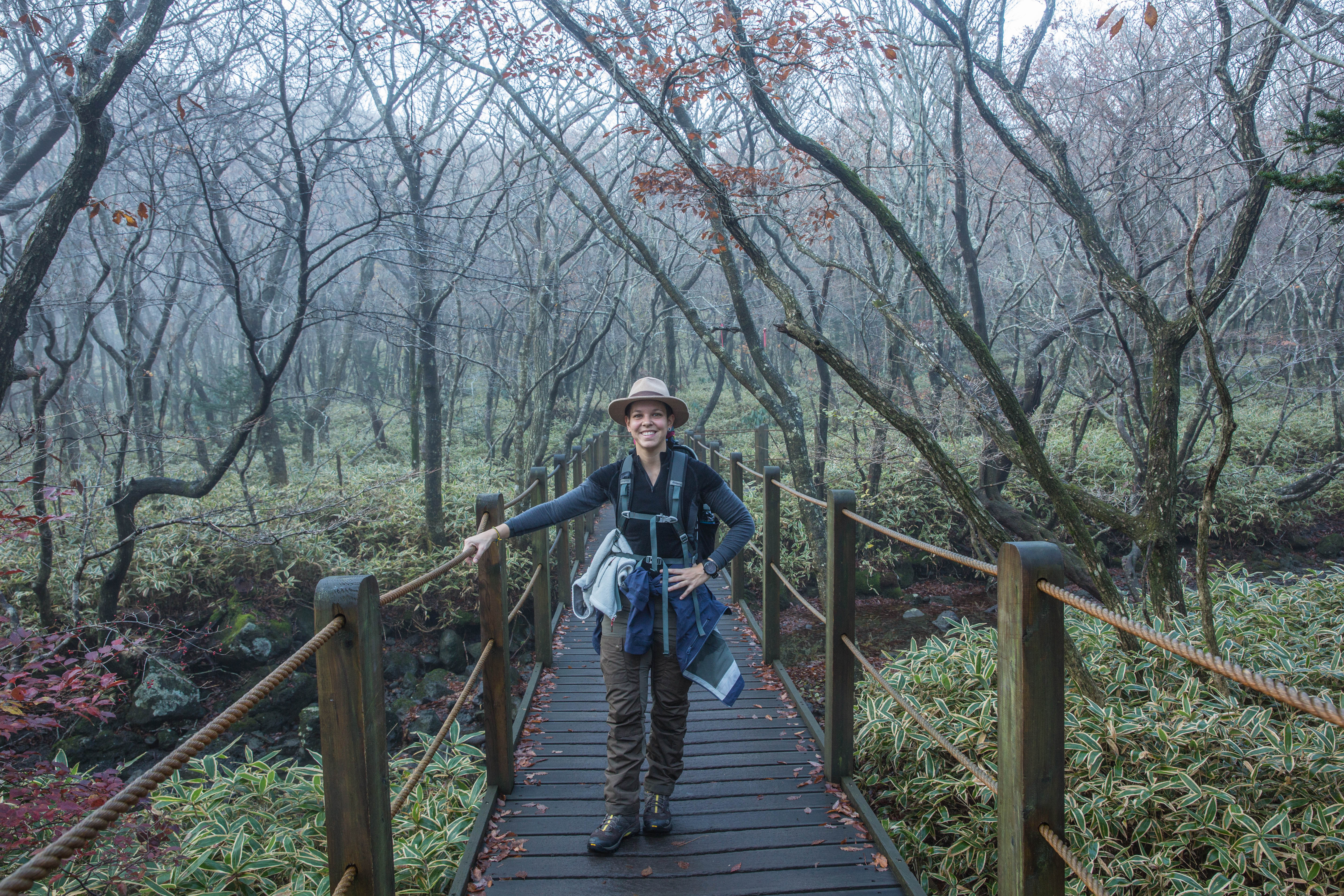
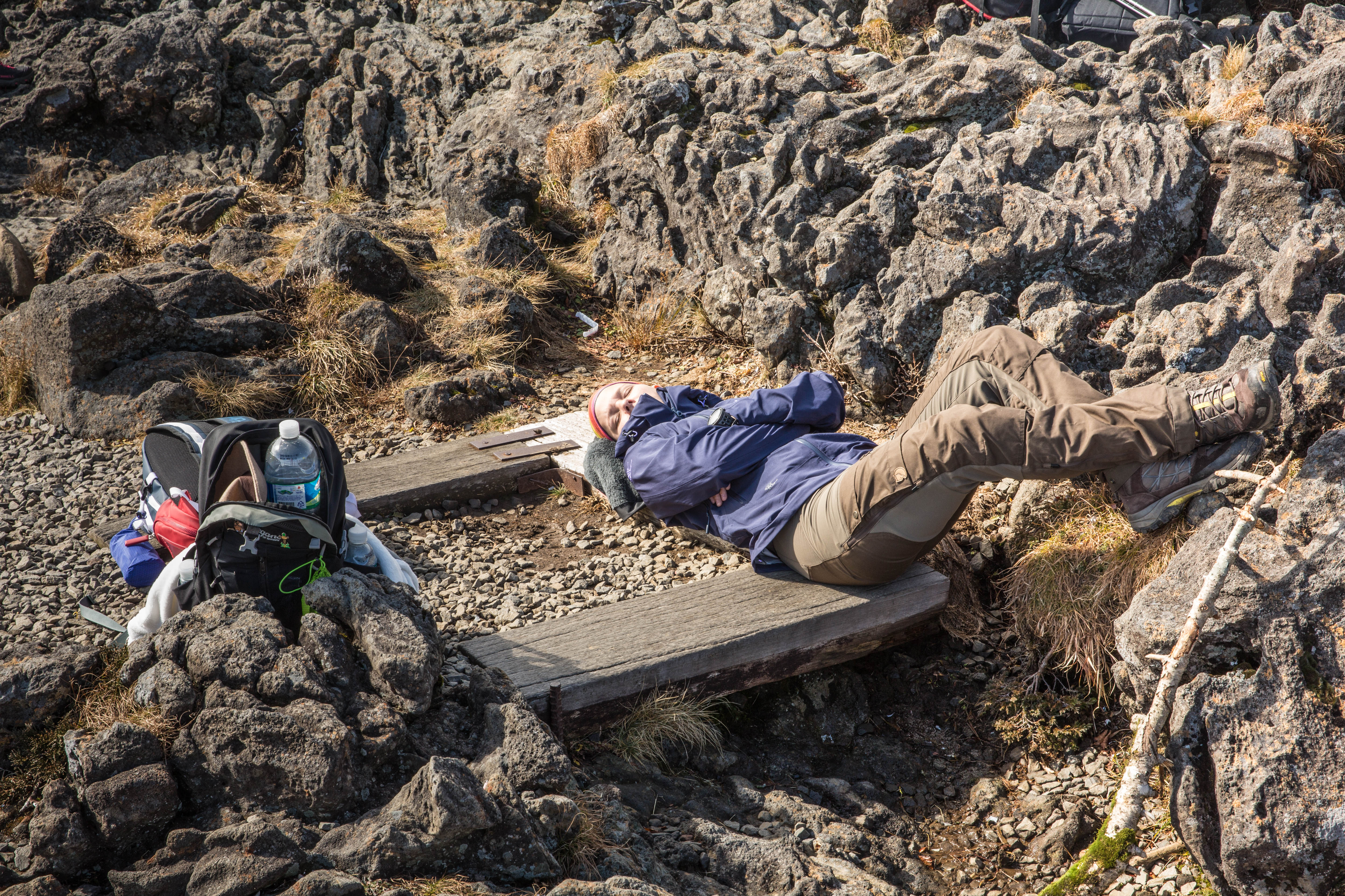
On our way down we stopped again at the Jindallaebat shelter for a rest as we were struggling on our way down to put our feet at the right place on the slippery rocks. So with one of us having problem with the knees we decided it was better to take it slow.

 _60A9738  _60A9817

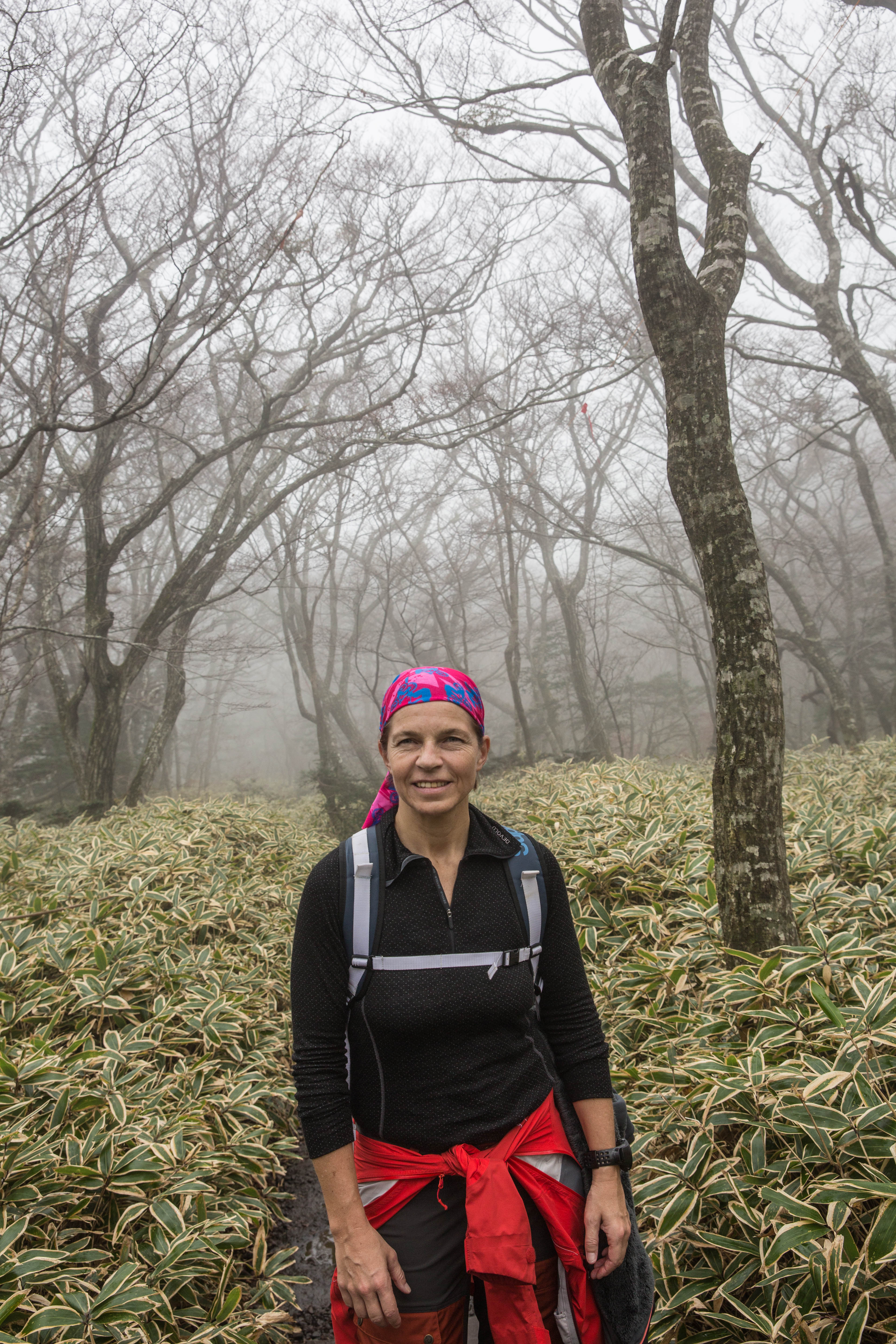
Back inside the forest the mist was quite thick so with water drops falling from the trees it almost felt like it was raining.

_60A9824  _60A9826

Happy to have made it back to the car park our plan was to find a bus to take us back to the resort, but when a free taxi turned in to the car park we change our decision and returned by taxi. Tired and hungry we were looking forward to getting back to the hotel.

_60A9823   _60A9821

Well back at the hotel, showered and sitting in the restaurant with a good meal and some wine, looking back at the day and the hike, we were thinking, it was tough, but we loved it.

_60A9837  _60A9839

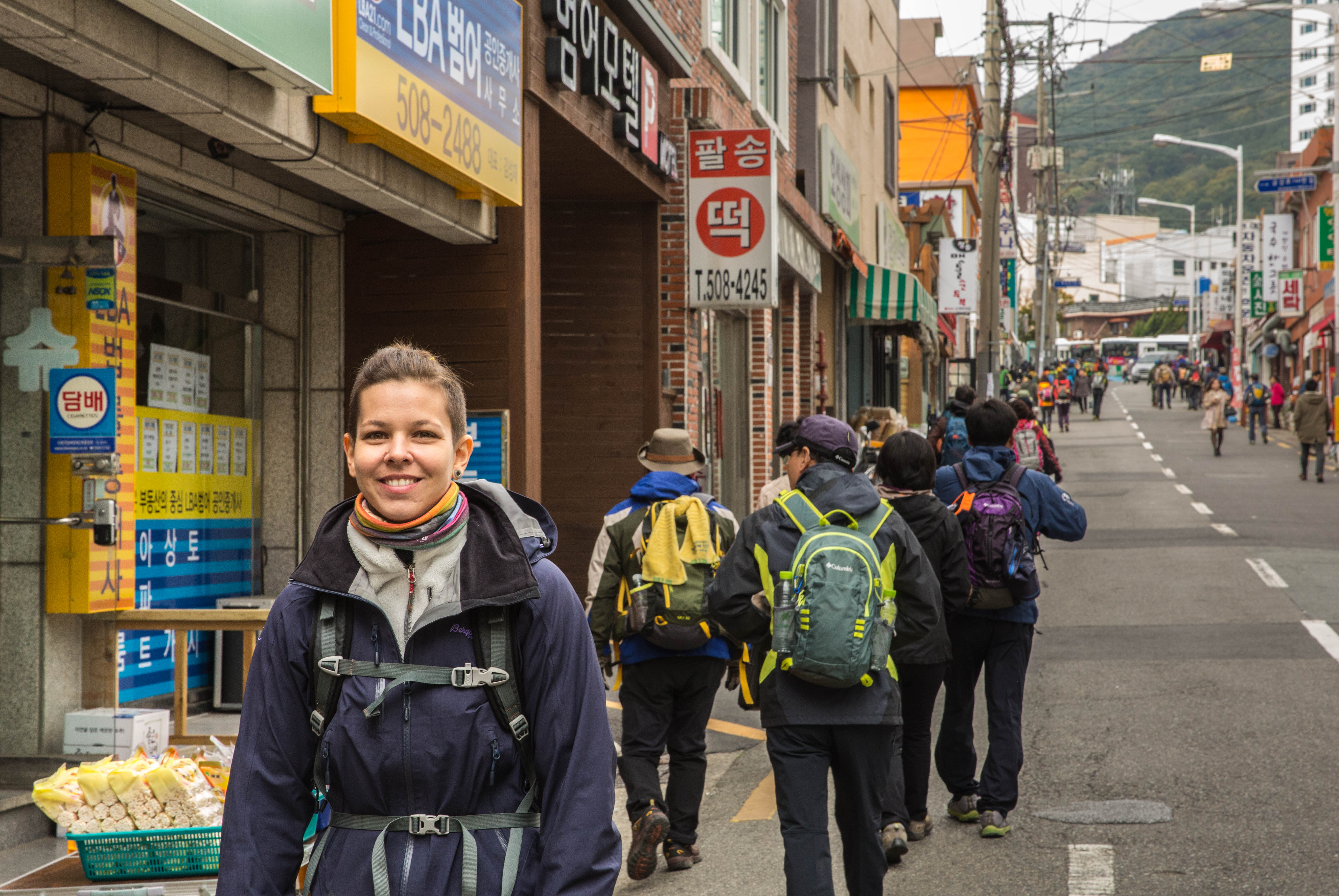
Getting to the entrance of the trail you can take the bus, drive or take a taxi.

There are five hiking trails on Hallasan. They are:

  • Gwaneumsa Trail – 8.7 km
  • Eorimok Trail – 4.7 km
  • Seongpanak Trail – 9.6 km
  • Yeongsil Trail – 3.7 km
  • Donnaeko Trail – 9.1 km

Only the Gwaneumsa and Seongpanak trails lead to the summit.

We hiked Mt. Hallasan November 2015