The path wound its way along the river, covered in leaves. It’s Autumn with winter just around the corner. The air is fresh with the sun trying to find its opening in the clouds. Nice temperature for a Sunday hike and a few hours surrounded by nature.

Just what we needed after a Saturday evening out.

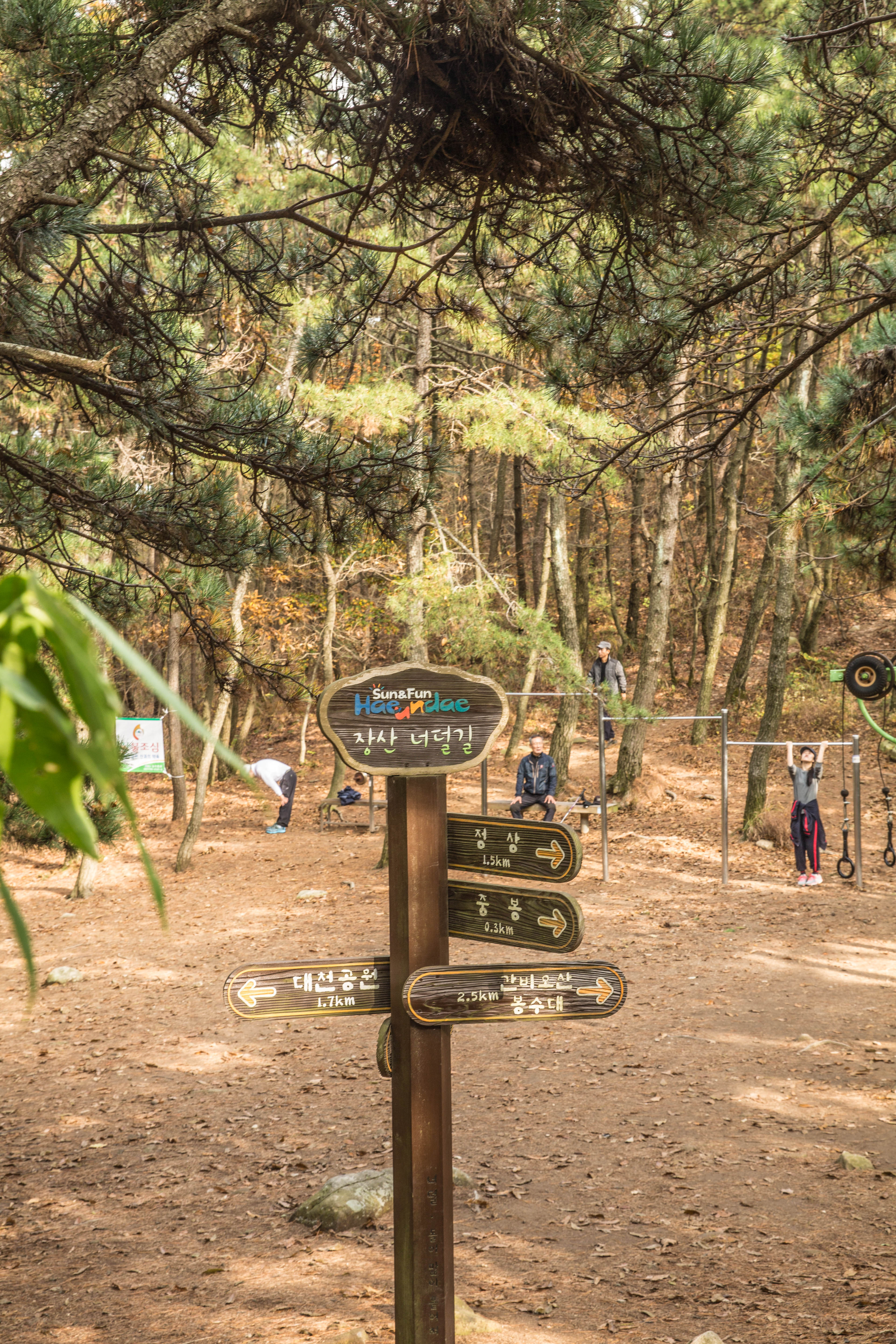
My first visit to Jangsan Mountain was a few weeks earlier, so i new where to go this time. First time around was a bit tricky and along the way I had to ask for the right path taking me to the top as all signs was in Korean. Some spoke a bit English but others not that much, but with some body language and a picture taken at the entrance from one of the maps I managed to reach to the view point and from there found my way up to the top.


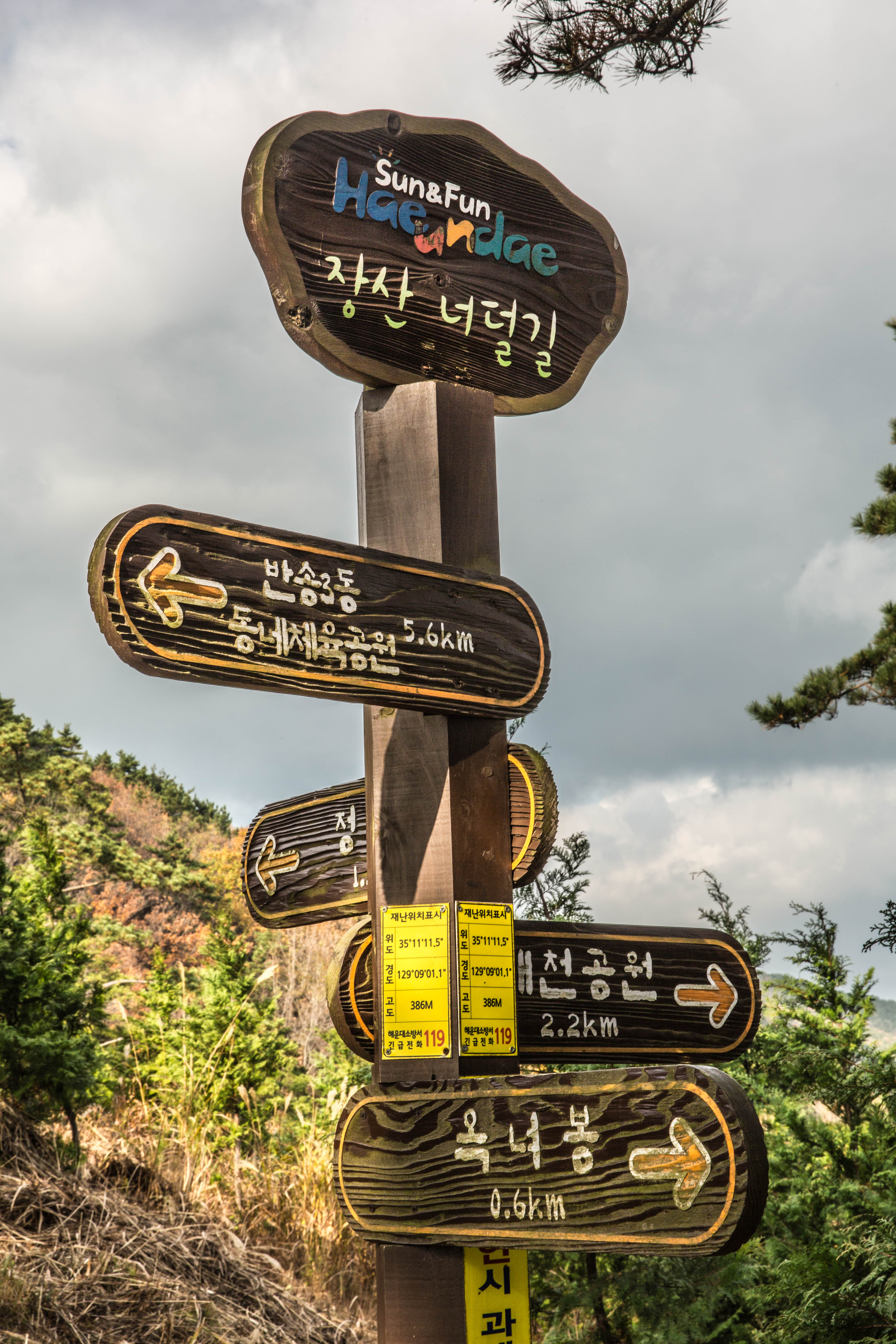
The only sign in English is at the entrance of the park were it show the way to the physical park and Peak.


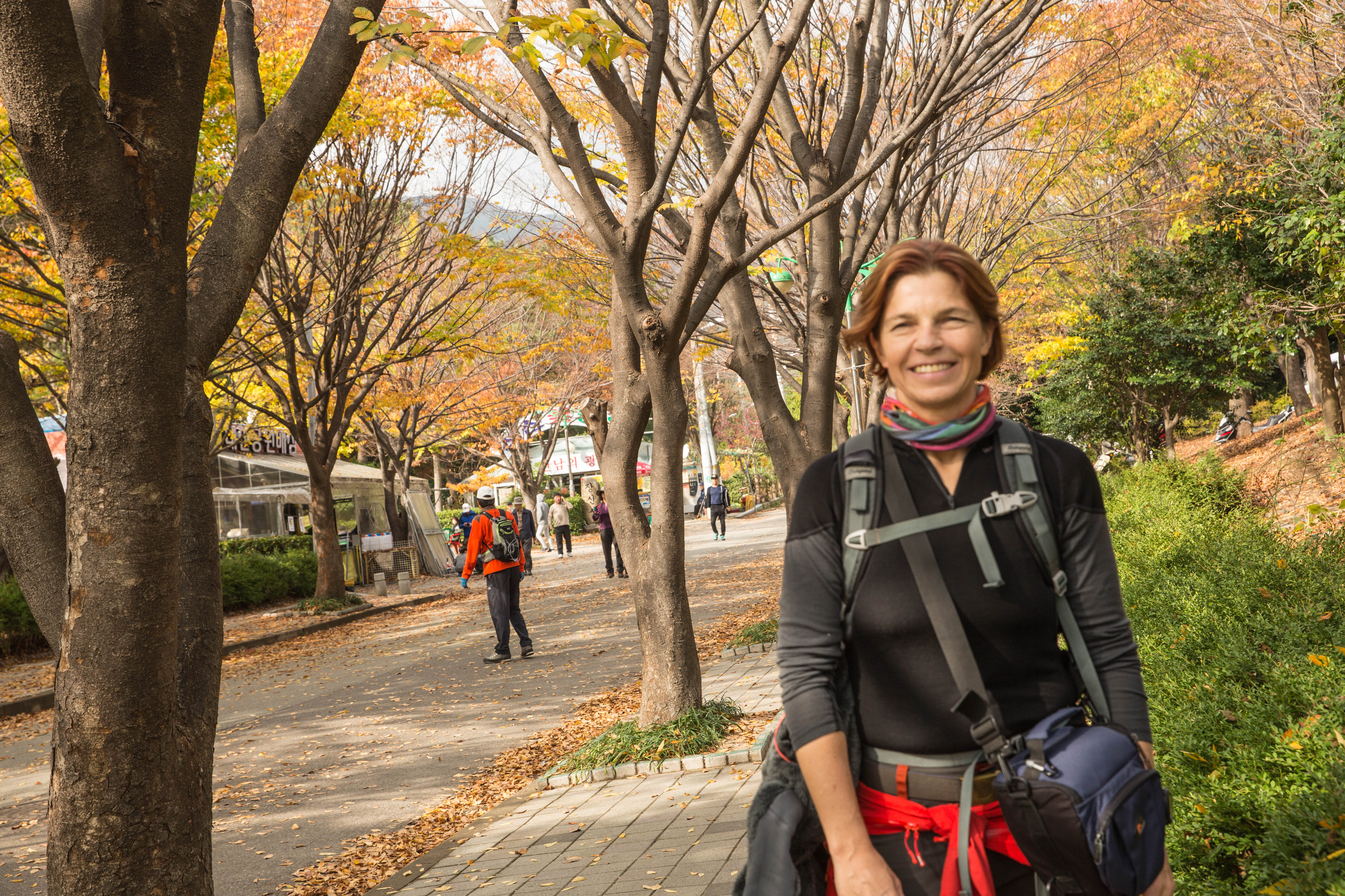
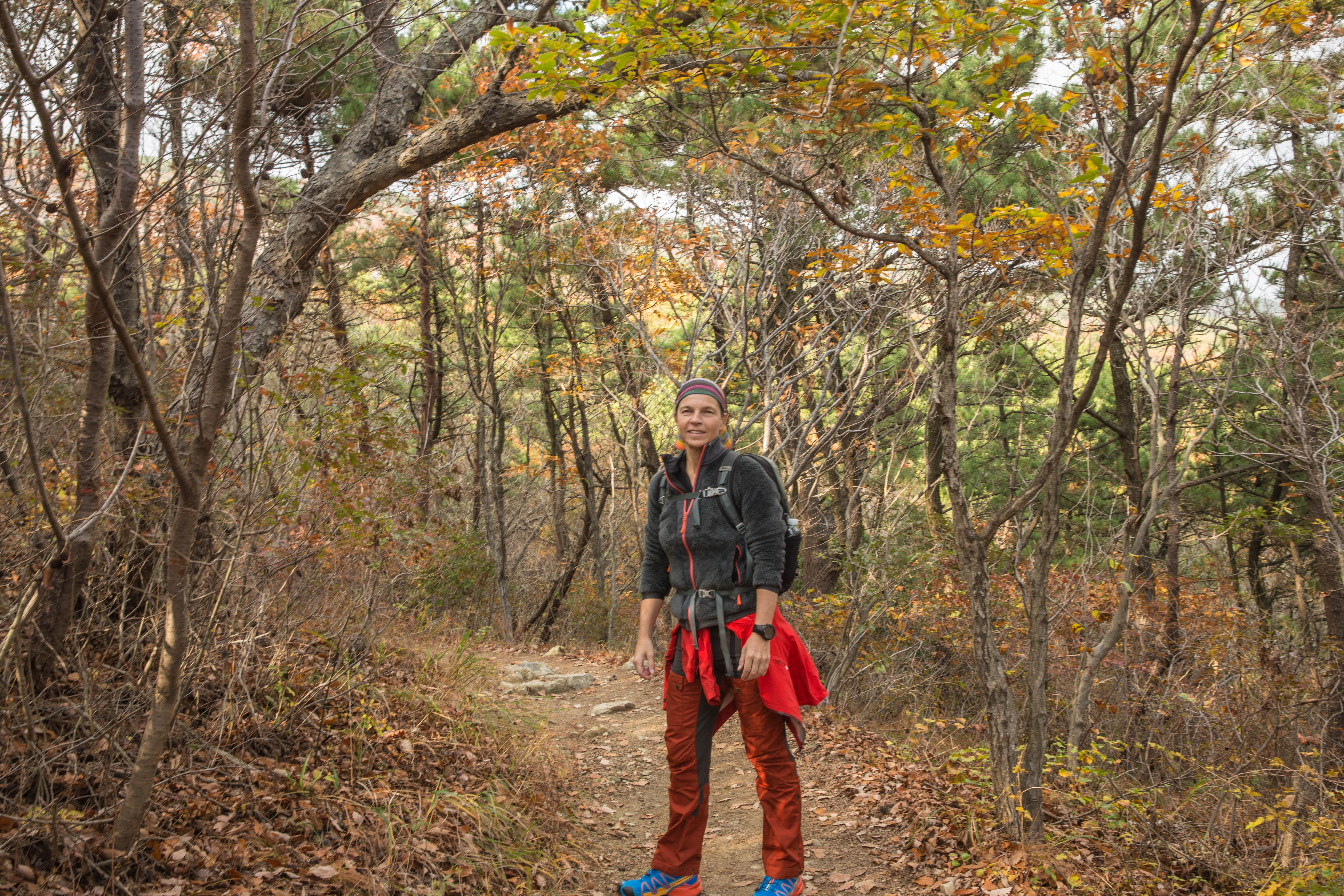
Maybe it was the winter getting closer or maybe it was that it was later in the afternoon, but this Sunday the trail was less crowded. We went up the mountain the same way as i had done the first time, just to make sure we did not get lost.

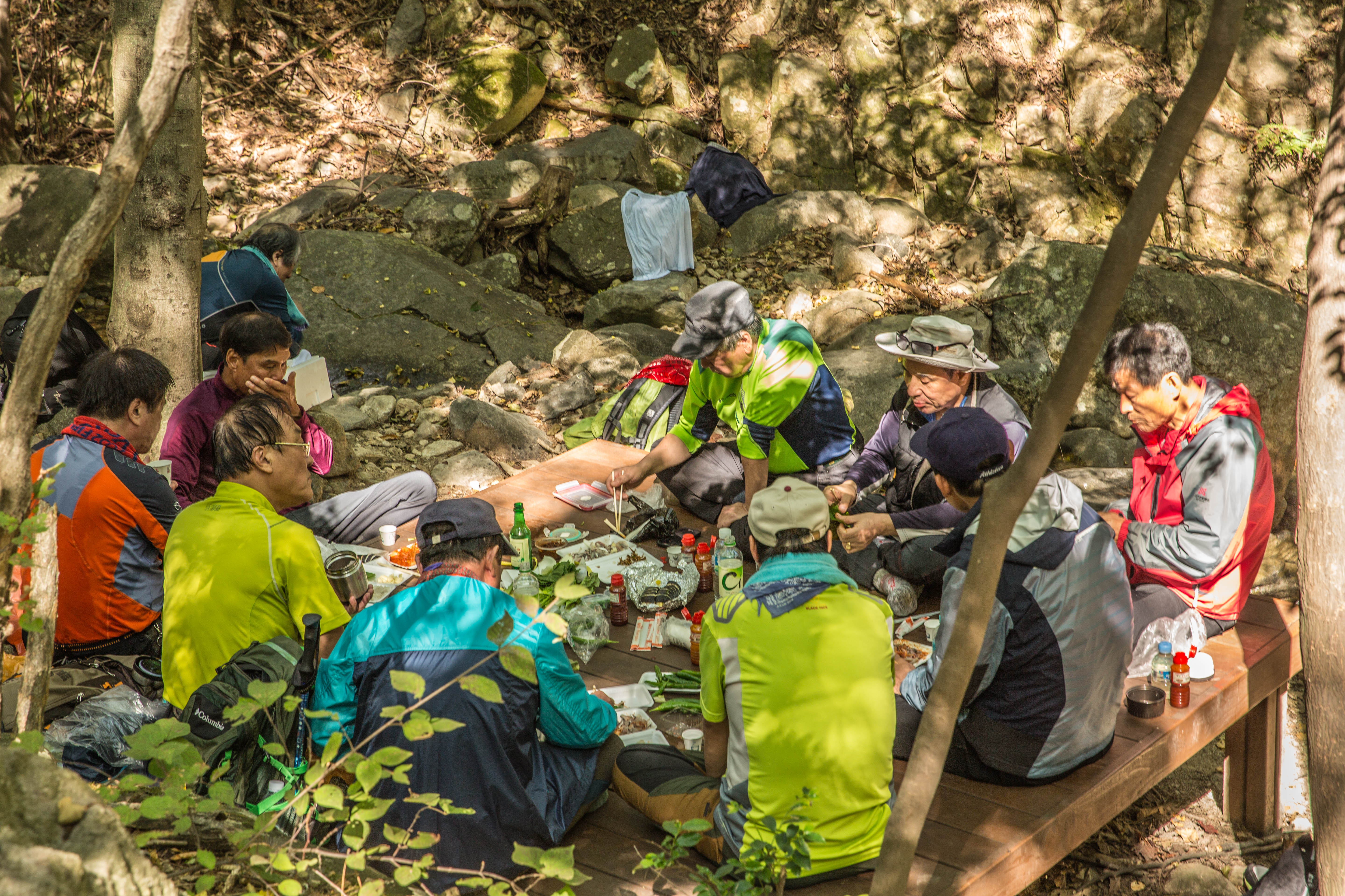
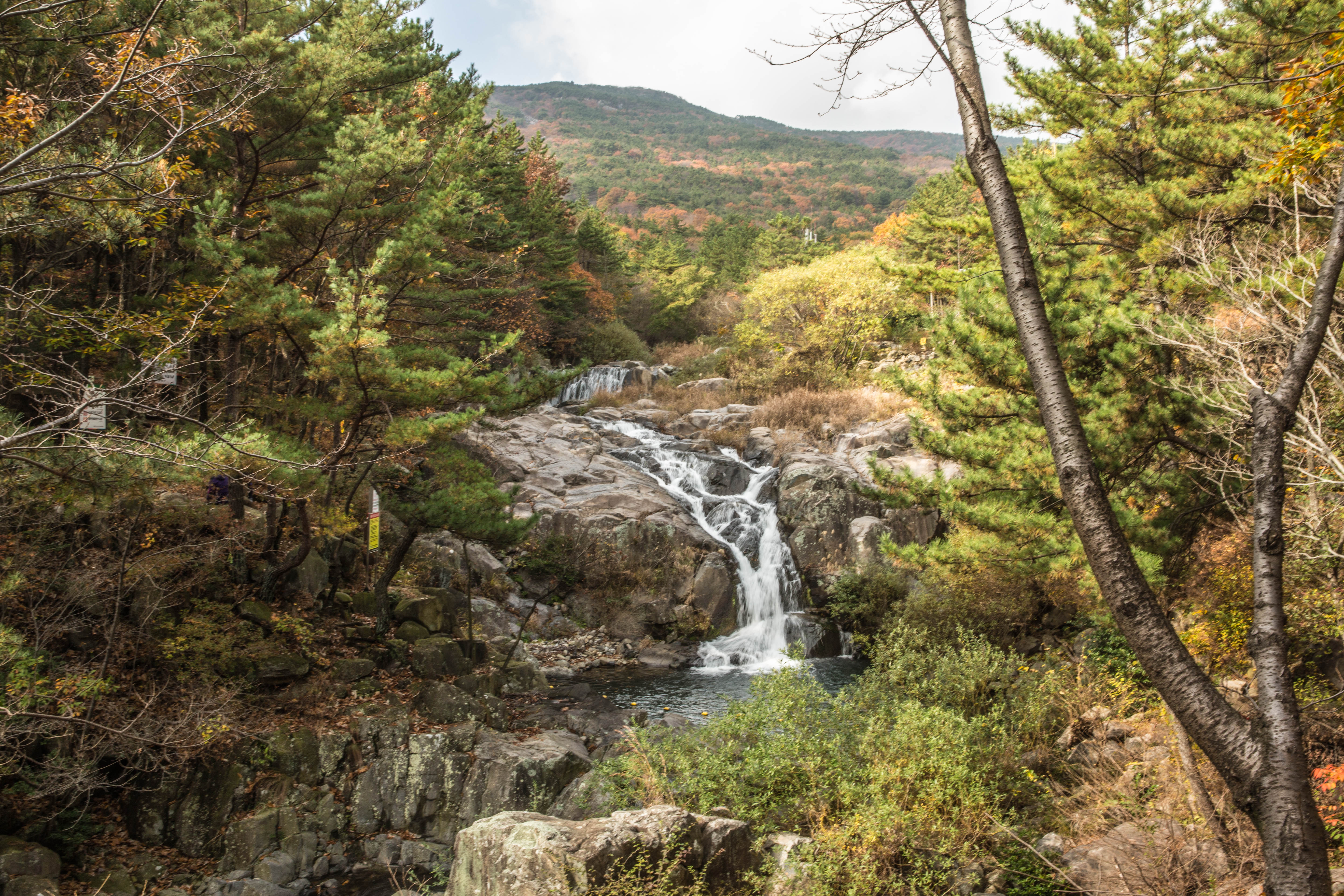
People were doing some exercise in the physical park, sitting around chatting at the same time and some had stopped for lunch along the way. Along the river there are wooden platforms that you can sit down on and enjoy some quality time with a good meal and at the same time enjoy being in the nature.

We continued our way uphill until we came to a junction. At this point we choose the easy path around the mountain to get a bit of a break before the next steep uphill until reaching the view point.
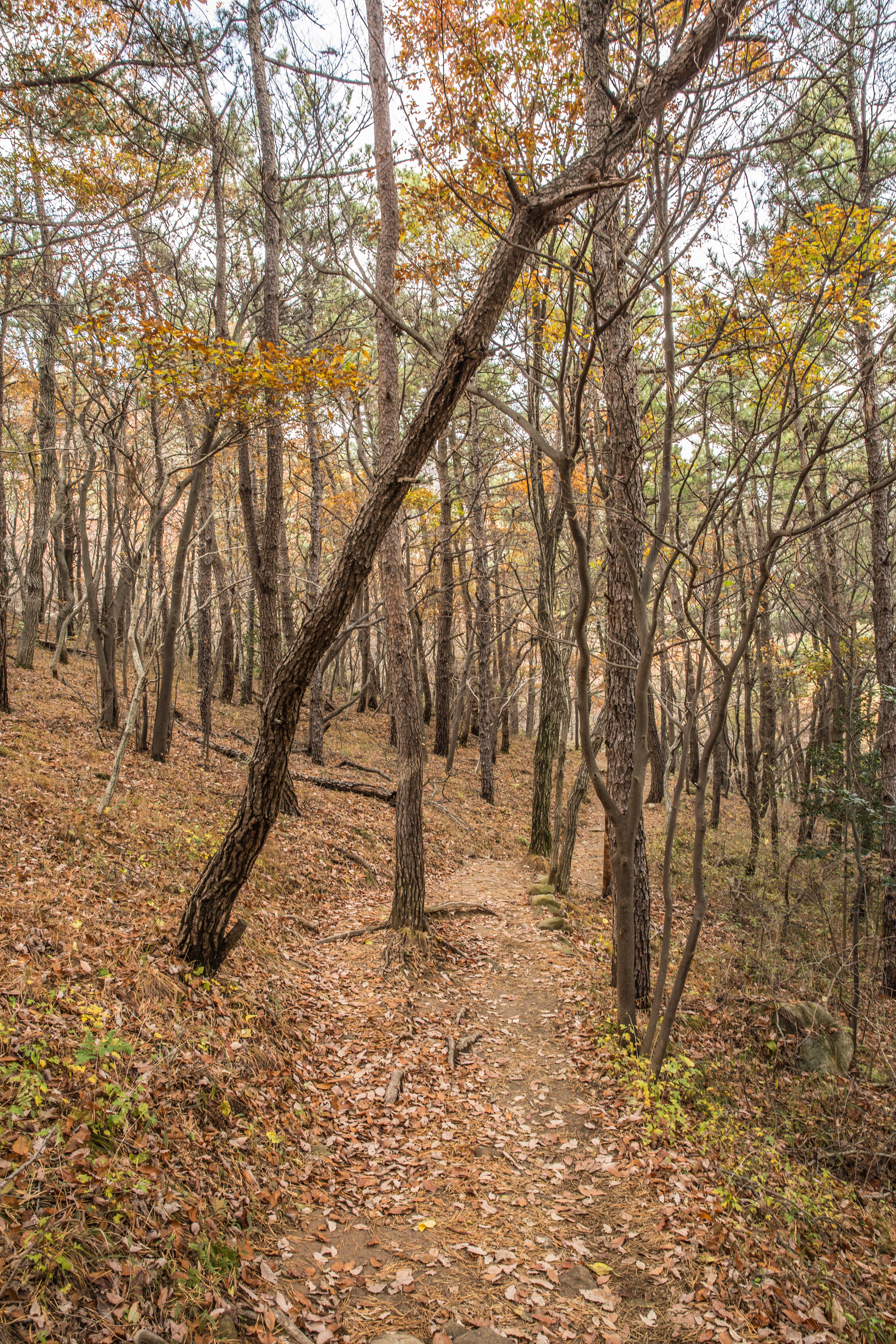
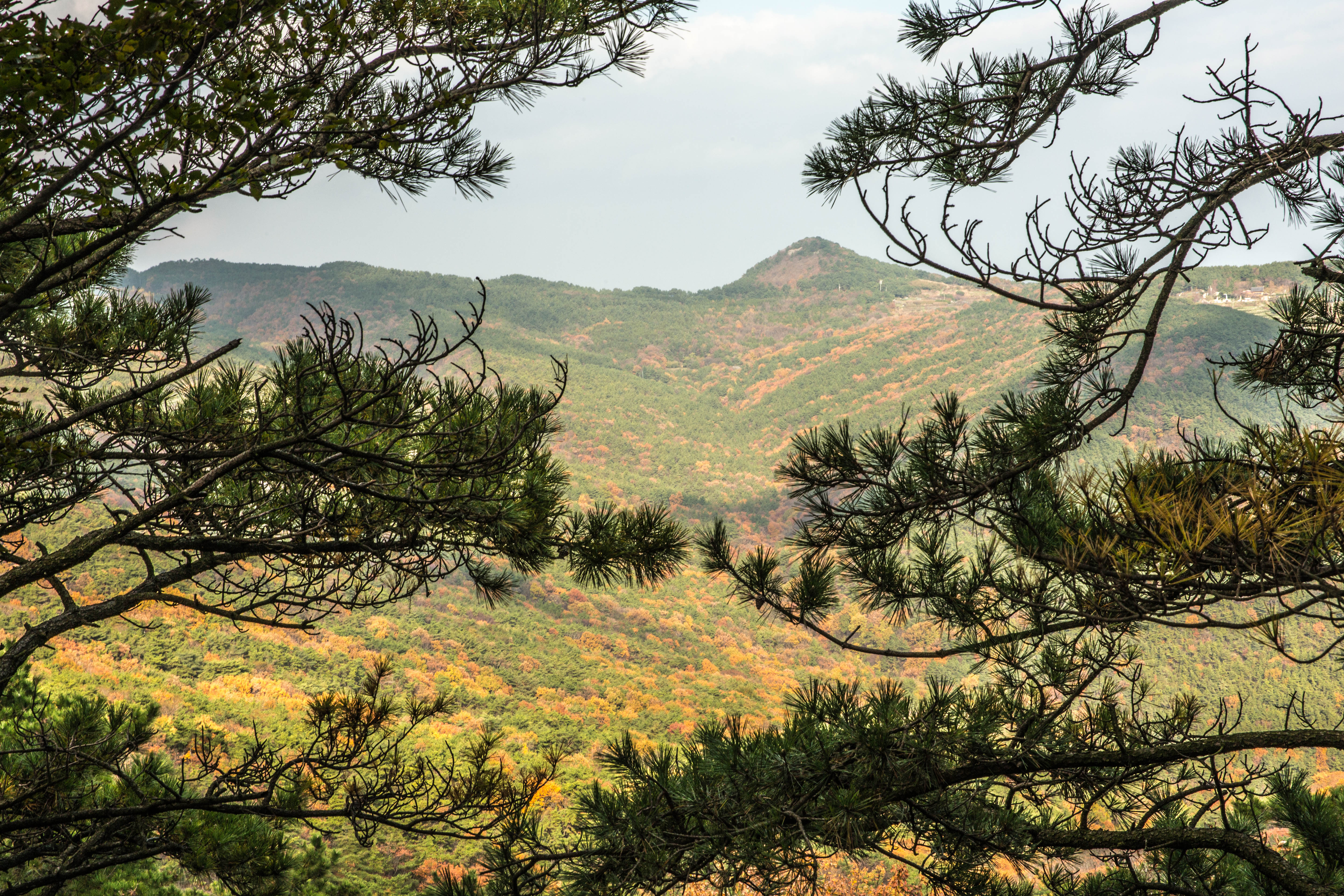
A bit of a rest here and there was needed this day, so we stopped to enjoy the nice view of the mountain showing off the beautiful autumn colors.


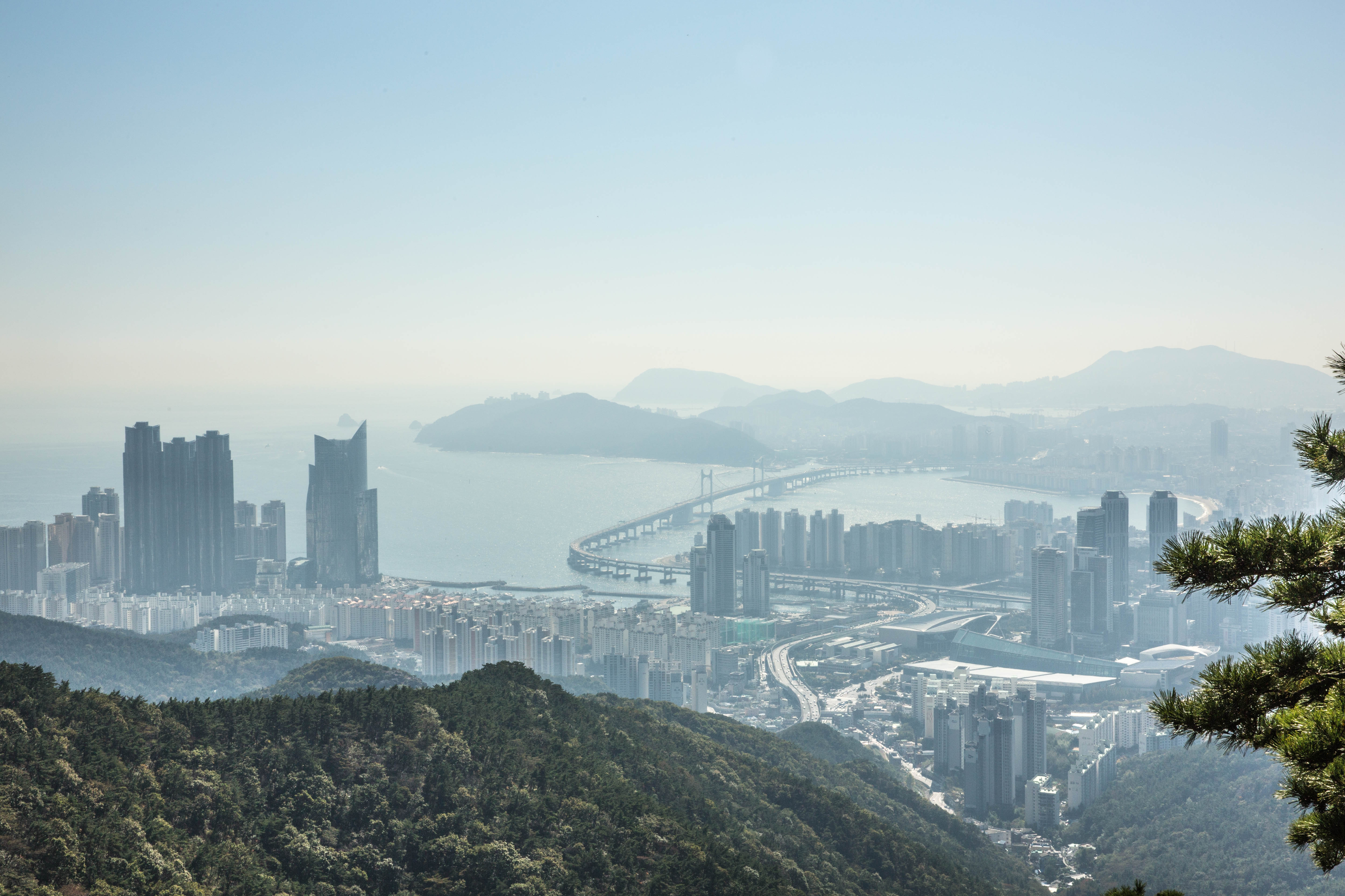
Reaching the viewing platform the view is stunning and you have view overlooking the city of Busan. Haeundae District with the famous Haeundae beach in one direction and Gwangandaegyo Bridge with Gwangalli beach close by.

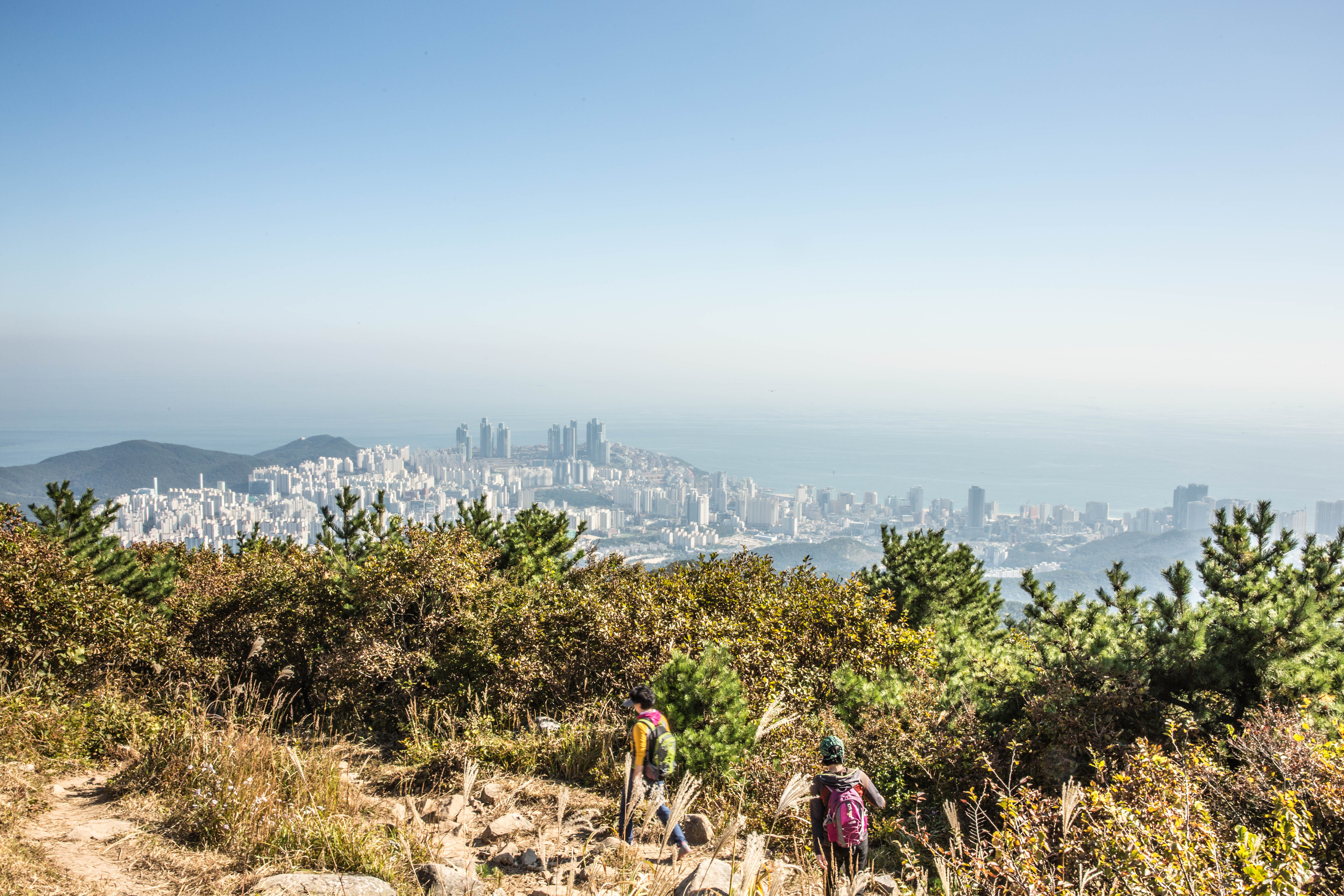
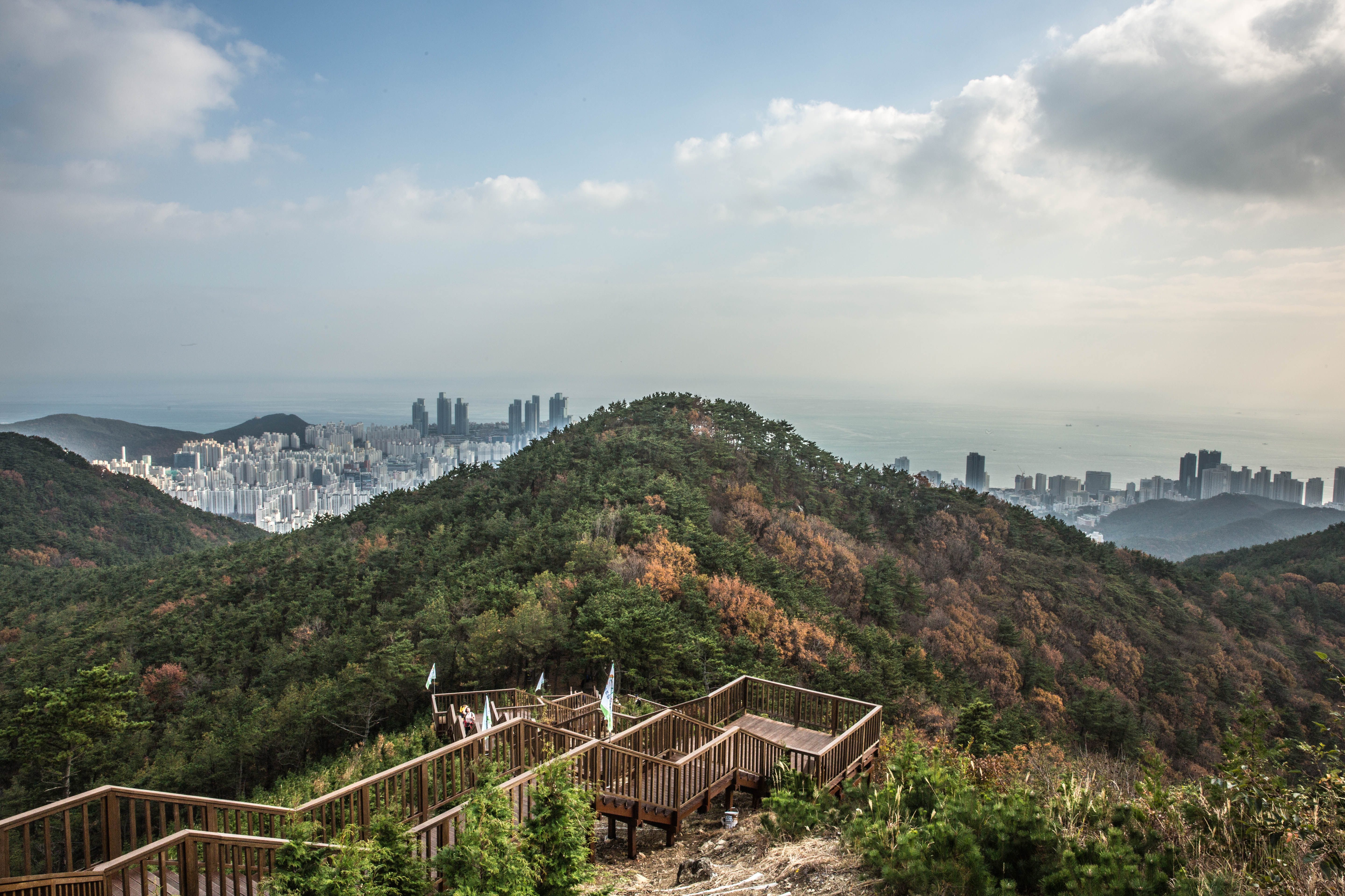
From the viewing platform you can see the peak. The path leading up to the peak it’s steep uphill. The top of the mountain is fenced off, but you can walk around and there are different trails that leads back to the viewing platform.


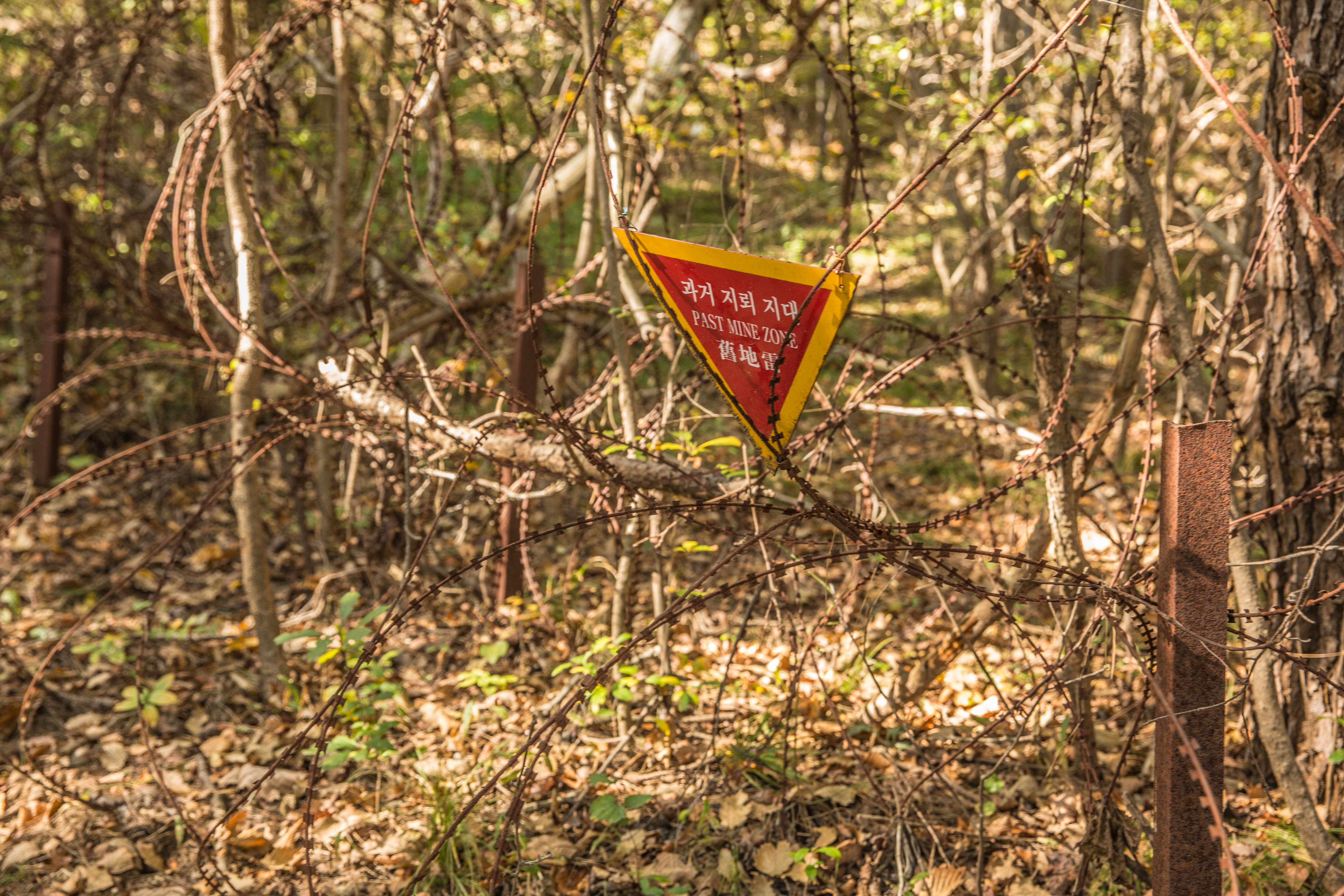
At one part of the mountain there is still land minds buried from the Korean war, so arriving at this area it’s all fenced off with warning signs all over to keep people away from entering in to these areas.

Most people are walking on the trails, but the easy trails can be done by bike and some people passed us on bikes on the very steep part down along the river. I think they regretted taken that way as they were struggling quite a lot having to carry the bike most of the way.


On our return we were quite happy having done the hike even do it was quite challenging in the beginning after a late Saturday night out.


And it must have been the fresh mountain air that gave some energy to fling around in the trees.


As most of the parks in Korea this also have a station with air blowers to clean off the dry dirt and dust from your shoes and pants before heading back home.

Some info about the mountain:
Jangsan is a Mountain located in Haeundae-gu in Busan with an elevation of 643 Meter above sea level. Signs posted indicate that an active land mine field is located on the mountain.
To get to Jangsan mountain exit the subway at the Jangsan station that is the end station on the green line. Take exit 10 and just follow the road to Daecheon park and from there it’s just to find your way to the peak.
